Chilcheri / Eggeri Location Grächen in the Saas Valley and Zermatt Descriptif – Total length Approximately 11 km. Walking time – Elevation + et – Altitude : Between 1600 and 1840 metres. National hiking map 1:50’000 274 T Visp Best period June to...
Chinbettihöre Location Left bank of the Rhone above Leukerbad. Descriptif T3-T4 alpine trail starting at 2315 m. Mineral scenery with remarkable geology of the formation of the Alps. You could believe you were on another Earth… Total length 30 km-effort Walking time...
Col de Jaman / Bonaudon Location Caux region, Rochers de Naye above the Vaud Riviera Descriptif Difficult walk in a very beautiful area. Typical route of the pre-Alps. Total length about 13 km Walking time about 4 to 5 hours Elevation + et – +/- 824 meters...
Col de la Croix / Bretaye Location canton of Vaud, between Villars and Les Diablerets Descriptif easy hike. No problem. Varied and typical landscapes of the region. Total length about 13 km Walking time 4 hours Elevation + et – +/-500 meters National hiking map...
Col des Eaux Froides / Audannes Hut Location Lake Tseuzier, Dam Rawil, on the right bank of the Rhone from Sion. Descriptif difficult trek with a crossing of « Lapiaz » to the lunar landscape and a descent by the spectacular Combe des Andins Total length about 15 km...
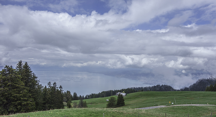
Corbeyrier / Les Agittes Location Canton of Vaud in Chablais above Yvorne Descriptif challenging hike, requiring sure footing. Not recommended for people suffering from vertigo. Avoid in very humid or rainy weather. In good weather, magnificent view of Lake Geneva....