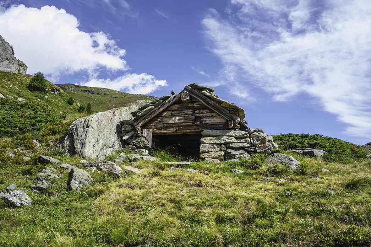
Arolla / Aiguilles rouges hut Location Arolla, on the left bank of the Rhone – Val d’Hérens – from Sion Descriptif not very difficult hike, in a high alpine environment Total length about 13 km Walking time 5 to 6 hours Elevation + et – +/-1000 meters National...
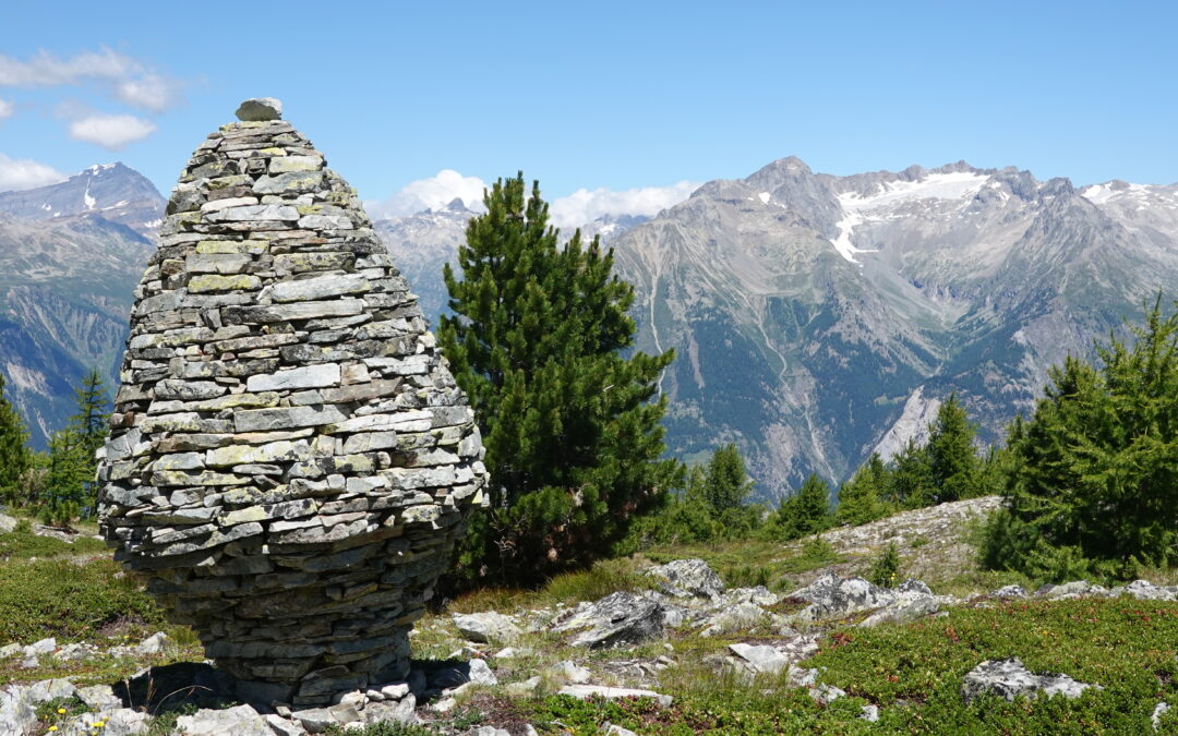
Around Mont Gond Location Central Valais, between the Derborence valley and the Sanetsch, right bank of the Rhône Descriptif fairly uncrowded challenging hike Total length about 11 km Walking time about 4 hours Elevation + et – +/- 751 meters Altitude: between...
Aspi Titter suspension bridge Location Valley of Conches, villages of Fiesch, Egga, Ried, Bellwald Descriptif Beautiful hike in a region that exudes serenity and authenticity Total length about 7 km Walking time about 2-3 hours Elevation + et – +/- 550 meters...
Audannes hut Location Anzère, on the right bank of the Rhone above Sion Descriptif difficult hike with a lot of negative elevation and delicate passages requiring a secure foot and not be subject to vertigo. Total length about 16 km Walking time 5 to 6 hours...
Augsbordhorn Location Left bank of the Rhone, above Visp, towards Moosalp-Törbel Descriptif Superb aerial trail that runs along the easy ridges of the March Violenhorn and the Augsbordhorn for more than half of the route. Extraordinary view of the highest peaks of...
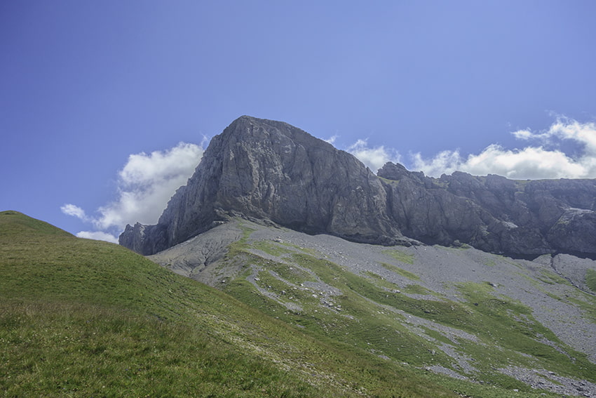
Becca d’Audon Location Central Valais above Savièse, Sanetschpass right bank of the Rhône Descriptif very difficult hike with Glacier passage Total length approx. 11 am if all the way is walked. When using the lifts, allow about 7 hours of walking. Walking time...