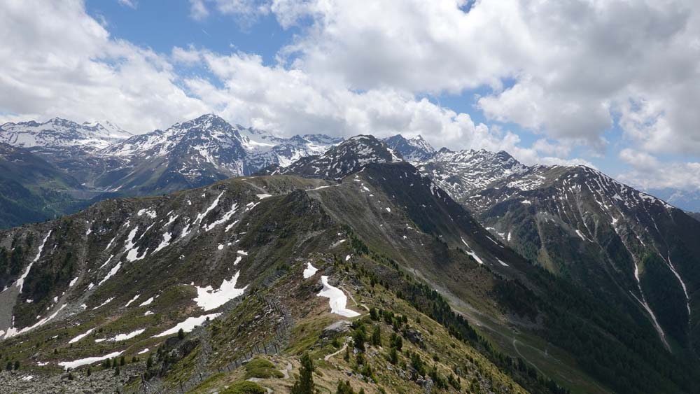
Dent de Nendaz Location Right bank of the Rhone above Haute-Nendaz. Descriptif T3 alpine trail for mountain lovers. Easy terrain with a ridge sometimes equipped with steps to reach the summit of the Dent. Well-marked route without orientation problems. Panorama of...
Dent de Nendaz / Le Basso d’Alou Location Haute Nendaz above Sion on the left bank of the Rhône Descriptif depending on the variant chosen difficult hike. 1st variant shorter from the top of the gondola Tracouet and the second variant from Pracondu following the...
Dent de Valerette / Dent de Valère Location Bas-Valais, above Monthey, Choex, Les Giettes Descriptif difficult hike with a magnificent 360° panorama Total length about 9 km Walking time about 4 hours Elevation + et – +/- 820 metersAltitude: between 1602 and...
Derborence / Mombas Location Valley of Derborence on the right bank of the Rhone above Conthey Descriptif a difficult hike for a safe walker. Some passages are not recommended for people subject to vertigo (there is a variant by Godé lake that avoids air passages)....
Fenêtre de Ferret/Col du Bastillon/Pas des Chevaux Location Grand St Bernard pass, Swiss – Italian border Descriptif beautiful difficult and very busy hike Total length about 12 km Walking time about 5 hours Elevation + et – +/- 1040 meters Altitude: between...
Foggenhorn Location Right bank of the Rhône above Brig, Blatten b. Naters, Belalp Descriptif very nice hike not too difficult with magnificent panoramas Total length variant A: 11 km, variant B: 13 km Walking time Variant A approx. 4 hours, variant B 5 to 6 hours...