 Panossière and Brunet hut Location Fionnay Val de Bagnes, direction Mauvoisin dam Descriptif difficult hike with some vertiginous passages, is done in two days. Total length about 24 km Walking time 12 hours Elevation + et – approx. 2,300 meters National hiking...
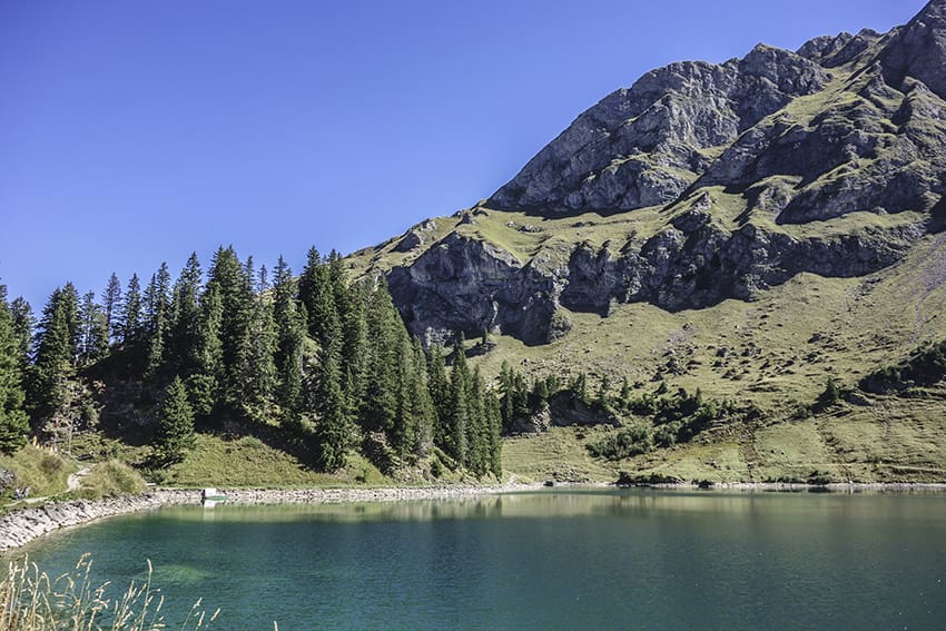 Pic Chaussy Location Vaud Alps, Col des Mosses, Lioson d’En Bas Descriptif not very difficult hike with the discovery of a magnificent mountain lake and a 360° panorama from the summit of Pic Chaussy Total length about 7 km Walking time about 4 hours Elevation + et...
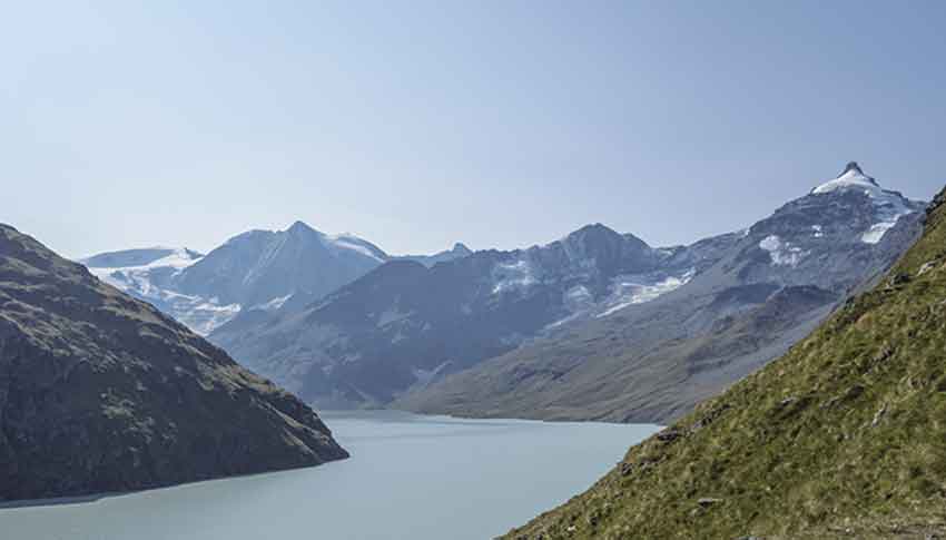 Pra Fleuri hut / Sentier des Bouquetins Location Val d’Hérens, Hérémence, left bank of the Rhône Descriptif not very difficult hike which is also named “ibex trail”. With luck you will see during the climb to the Col des Roux. Discovery of the dam Grande Dixence, the...
 Prarion Location Between Nendaz station and Isérables Descriptif Magnificent autumn hike, discovering larches more than a hundred years old Total length about 7 km Walking time about 3 hours Elevation + et – +/-500 meters Altitude: between 1824 and 2258 meters...
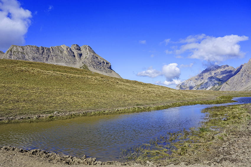 Prarochet Hut Location Sanetsch Pass, above Sion. On the right bank of the Rhone. Descriptif easy hike, in a slightly lunar landscape with a magnificent panorama of the Valais Alps. Total length about 9 km Walking time about 3 hours Elevation + et – +/-360...
 Romainmôtier Location Romainmôtier in northern Vaud Descriptif very easy hike along the La Dard river Total length about 11 km Walking time about 3 hours Elevation + et – +/-270 meters Altitude: between 550 and 720 meters National hiking map 1:50’000 251 La...