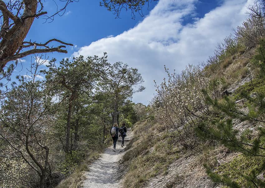
 Bois de Finges / (VS) Location Finges regional park between Sierre and Susten (VS) Descriptif easy hike in the beautiful regional park and largest natural pine forest in central Europe. Total length about 9 km Walking time about 4 hours Elevation + et – +/- 322...
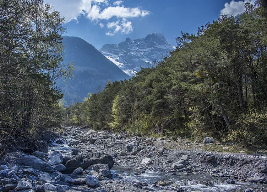 Bois Noir / Epinassey Location Epinassey near St Maurice (VS) Descriptif moderately difficult hike and relatively little run Total length about 6 km Walking time about 2 hours Elevation + et – +/- 331 meters Altitude: between 448 and 741 meters National hiking...
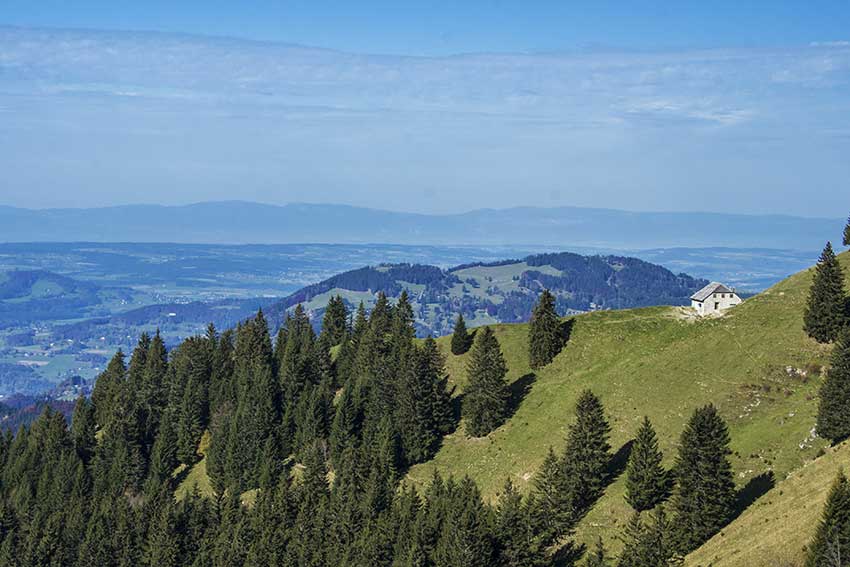 Caux / Rochers de Naye Location Caux above Montreux and Glion Descriptif difficult hike during which you admire the panorama on Lake Geneva, the Riviera and Chablais. Total length about 11 km Walking time about 5 hours Elevation + et – +/- 900 meters National...
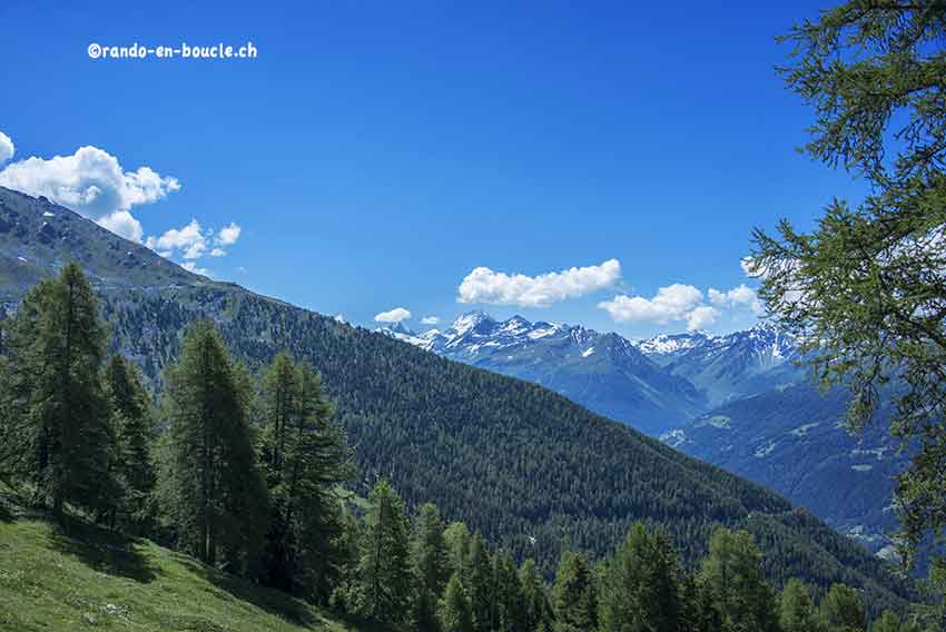 Chandolin / Grande Remointze Location Val d’Anniviers above Sierre, left bank of the Rhône Descriptif hiking not very difficult. No problem. Magnificent panorama of the Bernese Alps and the Matterhorn, the Dent Blanche, etc. Total length about 8 km Walking time 3 to...
 Chasseral Location Canton of Bern, Jura Switzerland above Lake Biel Descriptif easy hike. No problem. Varied and typical landscapes of the region. Total length about 12 km Walking time 3 to 4 hours Elevation + et – +/-500 meters National hiking map 1:50’000 232...
 Chemin-Dessus / La Crevasse Location Above Martigny on the Col des Planches road. Descriptif very nice hike through a magnificent larch forest and a sumptuous panorama of the Dents du Mid, the Trient and Combins mountains Total length about 12 km Walking time about 4...