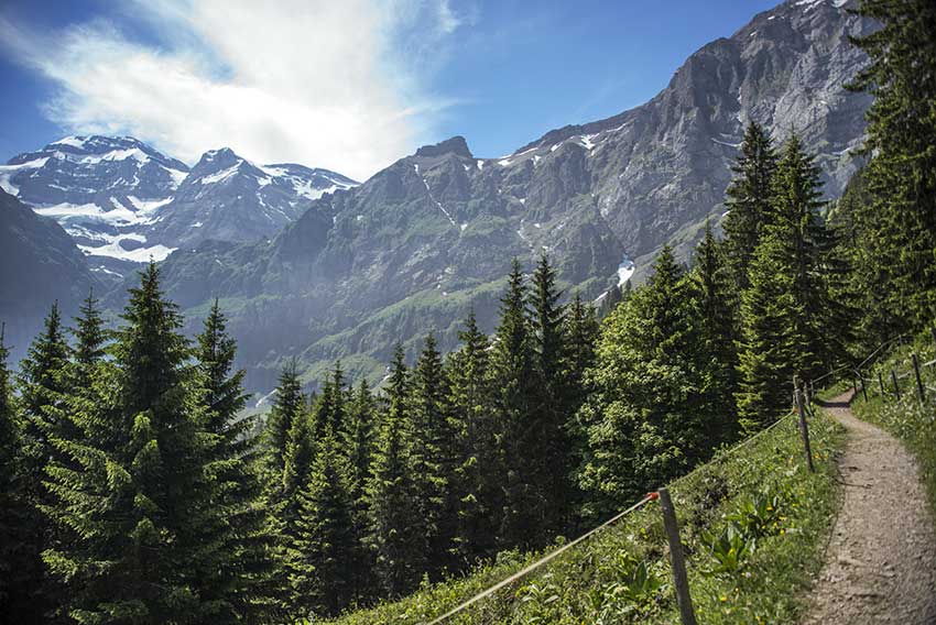
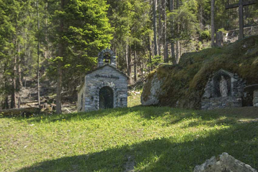
Grand Paradis / Champéry Location on the left bank of the Rhône Val d’Illiez – Champéry Descriptif not very easy hiking under the Dents du Midi Total length about 8 km Walking time 3 to 4 hours Elevation + et – +/-600 meters National hiking map 1:50’000 St...
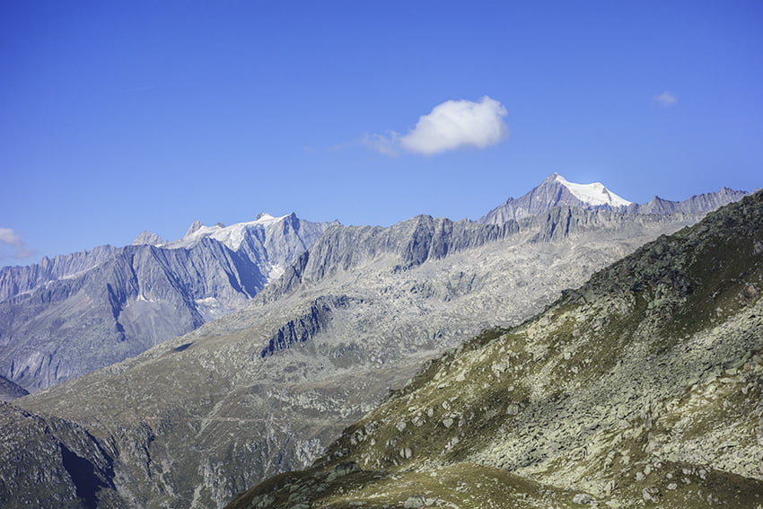
Honeggerhorn / Risihorn Location Haut-Valais, in the Goms valley above the village of Bellwald. Descriptif beautiful hike with a panoramic view of the Valais and Bernese Alps. The ascents of Honeggerhorn and Risihorn which can be avoided are rated T4. Total length...
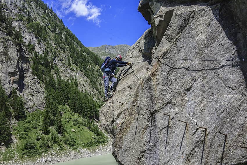
Klettersteig Aletsch Location Haut-Valais, Gibidum dam reachable from Blatten bei Naters above Naters Descriptif Extraordinary very difficult hike, which takes place ⅔ in a via ferrata situation and ⅓ walking around the Gibidum dam Total length about 3,5 km Walking...
Le Catogne Location Champex-Lac above Orsières (Val de Ferret), canton of Valais Descriptif magnificent hike with varied difficulties and landscapes. From the top of Catogne the panorama is just sublime. We can see Martigny and the Rhone plain, the Grand Chavalard,...
Mase / Champs Fleuris Location Central Valais, on the left bank of the Rhone above Mase Descriptif easy hike through beautiful flower meadows and a beautiful forest Total length about 5 km Walking time about 2 hours Elevation + et – +/-278 meters National...
Mayens de My Location Conthey, vallée de la Morge, Mayens de My, on the right bank of the Rhône Descriptif hiking not difficult, without indication of route Total length about 11 km Walking time about 3 to 4 hours Elevation + et – +/-600 meters National hiking...