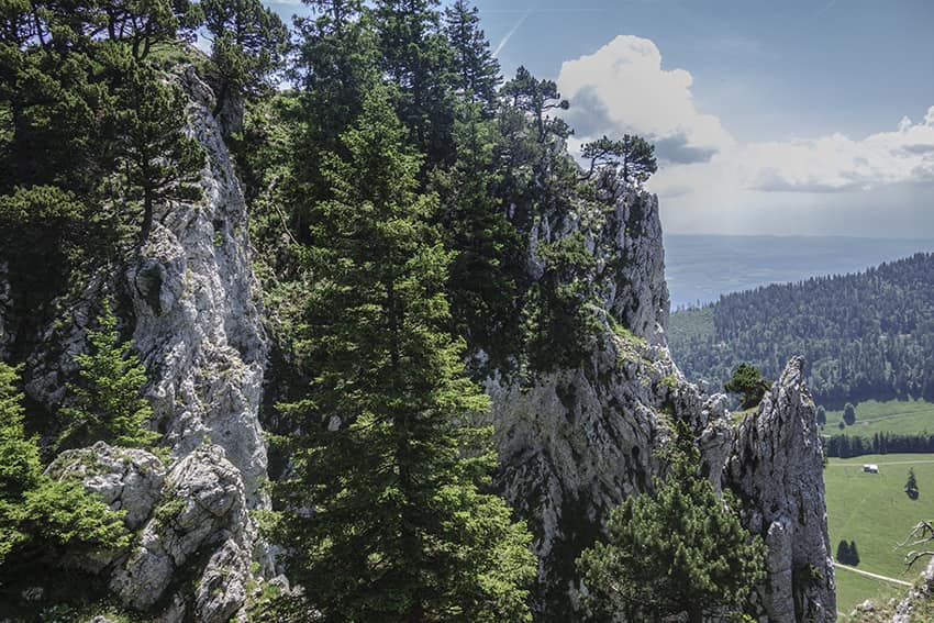
Aiguilles de Baulmes Location Canton of Vaud – near Ste Croix, Yverdon Descriptif not too difficult hike with a magnificent panorama of the Alps and Lake Neuchâtel on a clear day. Total length about 11 km Walking time about 4 hours Elevation + et – +/-683...
Caux / Rochers de Naye Location Caux above Montreux and Glion Descriptif difficult hike during which you admire the panorama on Lake Geneva, the Riviera and Chablais. Total length about 11 km Walking time about 5 hours Elevation + et – +/- 900 meters National...
Col de Jaman / Bonaudon Location Caux region, Rochers de Naye above the Vaud Riviera Descriptif Difficult walk in a very beautiful area. Typical route of the pre-Alps. Total length about 13 km Walking time about 4 to 5 hours Elevation + et – +/- 824 meters...
Col de la Croix / Bretaye Location canton of Vaud, between Villars and Les Diablerets Descriptif easy hike. No problem. Varied and typical landscapes of the region. Total length about 13 km Walking time 4 hours Elevation + et – +/-500 meters National hiking map...
Corbeyrier / Les Agittes Location Canton of Vaud in Chablais above Yvorne Descriptif challenging hike, requiring sure footing. Not recommended for people suffering from vertigo. Avoid in very humid or rainy weather. In good weather, magnificent view of Lake Geneva....
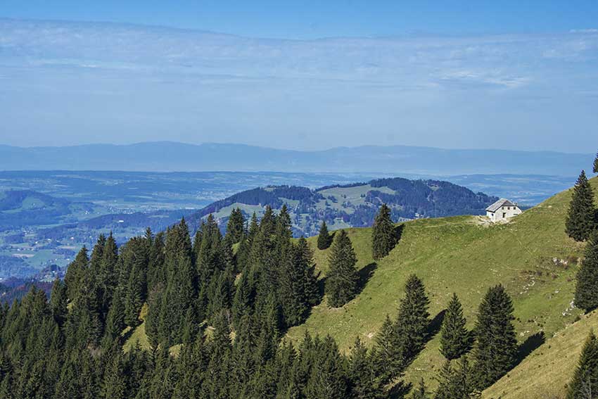
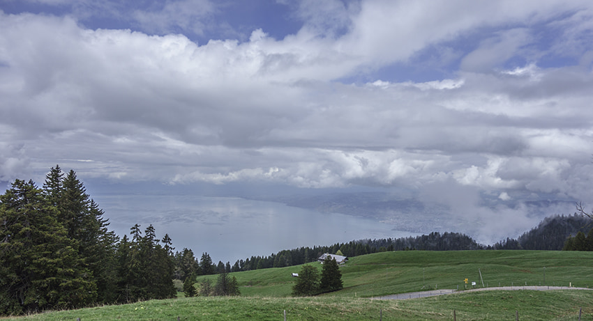
Haut du Mollendruz Location col du Mollendruz, Vaud Descriptif Beautiful hike with beautiful panoramas on Lake Geneva, the lakes of Joux, Brenet and the valley of Joux. Total length about 11 km Walking time about 3-4 hours Elevation + et – +/- 425 meters...