Corne and Brèche lakes Location central Valais, on the left bank of the Rhone at the height of the village of Grône. Descriptif very easy hike between the Puntafontana Nature reserve and the Sierre golf club Total length about 7 km Walking time about 2 hours...
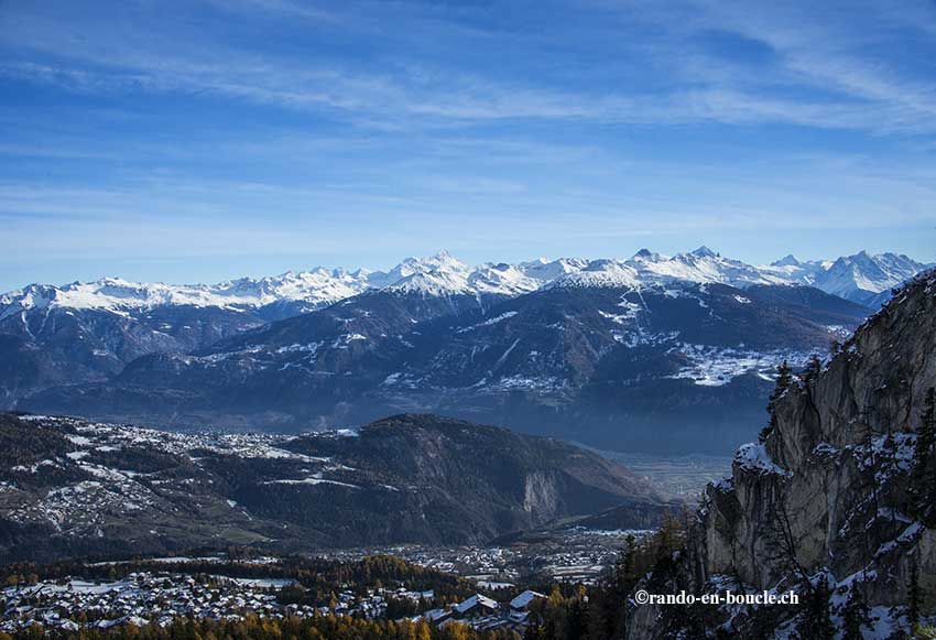
Dahu Tour / Anzère Location Anzère above Sion on the right bank of the Rhône Descriptif Snowshoeing itinerary. Hiking not very difficult, with a magnificent panorama of the Valais Alps. From the Trient massif to the Biesthhorn in the Bernese Alps. Total length about...
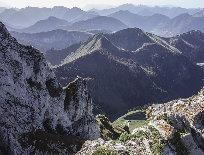
Dent d’Oche Location Haute Savoie from Evian-les-Bains via the D24 and D52, near the Bernex resort Descriptif difficult hike with some vertiginous passages and very steep descents and ascents, very similar to the Gastlosen hikes Total length about 12 km Walking time...
Dent de Nendaz Location Right bank of the Rhone above Haute-Nendaz. Descriptif T3 alpine trail for mountain lovers. Easy terrain with a ridge sometimes equipped with steps to reach the summit of the Dent. Well-marked route without orientation problems. Panorama of...
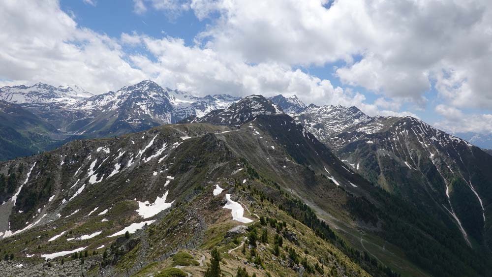
Dent de Nendaz / Le Basso d’Alou Location Haute Nendaz above Sion on the left bank of the Rhône Descriptif depending on the variant chosen difficult hike. 1st variant shorter from the top of the gondola Tracouet and the second variant from Pracondu following the...
Dent de Valerette / Dent de Valère Location Bas-Valais, above Monthey, Choex, Les Giettes Descriptif difficult hike with a magnificent 360° panorama Total length about 9 km Walking time about 4 hours Elevation + et – +/- 820 metersAltitude: between 1602 and...