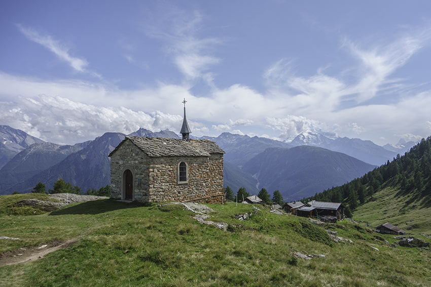
Foggenhorn Location Right bank of the Rhône above Brig, Blatten b. Naters, Belalp Descriptif very nice hike not too difficult with magnificent panoramas Total length variant A: 11 km, variant B: 13 km Walking time Variant A approx. 4 hours, variant B 5 to 6 hours...
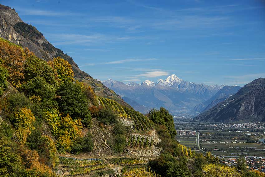
Fully / Tassonières Location Fully on the right bank of the Rhone Descriptif Not very easy hike starting through the famous chestnut grove of Fully and following the vineyards over LA Combe d’Enfer and through beautiful forests of hardwoods. Very beautiful autumn...
Gorges du Dailley Location Trient Valley, departure from the village of Les Granges after Salvan Descriptif Spectacular hike along the Gorges du Dailley up 600 steps! Total length about 5,5 km Walking time about 2 to 3 hours Elevation + et – +/- 364 meters...
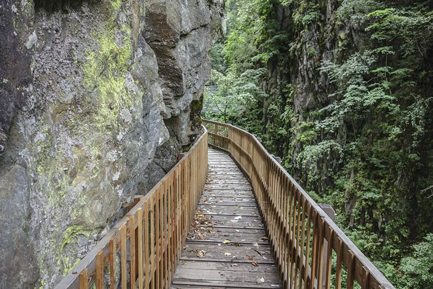
Gorges du Durnand Location Val de Bagnes, between the villages of Les Valettes and Le Borgeaud Descriptif The spectacular course of the Gorges is easy except for the 300 steps and the passage of footbridges for people suffering from vertigo. The return of this part...
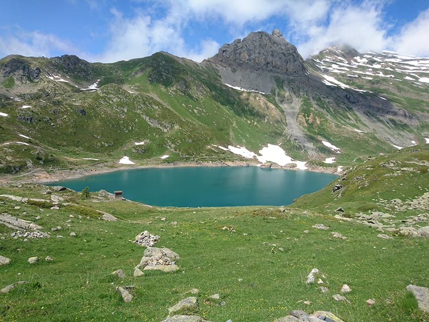
Grand Chavalard tour Location Right bank of the Rhône, Ovronnaz, above Fully, Leytron and Chamoson Descriptif Average hike for walkers used to long walks. Shoes with a good profile and covering the ankles recommended. Magnificent panorama on the lakes of Fully and...
Grand Paradis / Champéry Location on the left bank of the Rhône Val d’Illiez – Champéry Descriptif not very easy hiking under the Dents du Midi Total length about 8 km Walking time 3 to 4 hours Elevation + et – +/-600 meters National hiking map 1:50’000 St...