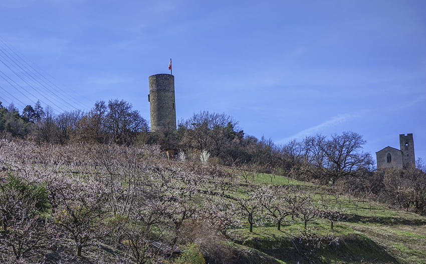
Saxon Sentier des abricots Location Village of Saxon on the left bank of the Rhône plain Descriptif hike not too difficult to do in March when the apricot trees are in bloom Total length about 5 km Walking time about 2 hours Elevation + et – +/- 342 meters...
Sentier des charbonniers Location Central Valais, on the left bank of the Rhone above Vernamiège, Nax and Mase Descriptif a difficult hike around Mount Noble. Mountain hike requiring a secure foot. There are some passages, which without being dizzying, can cause...
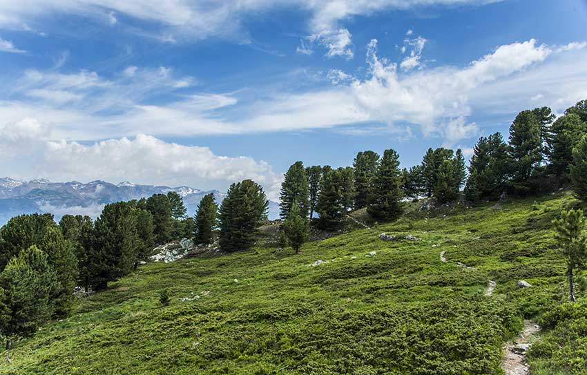
Sex/ Riond Location Central Valais, Mayens de Conthey, right bank of the Rhône Descriptif not too difficult hike with a magnificent panorama of the Alps. Total length about 10 km Walking time about 3-4 hours Elevation + et – +/-635 meters Altitude: between 1540...
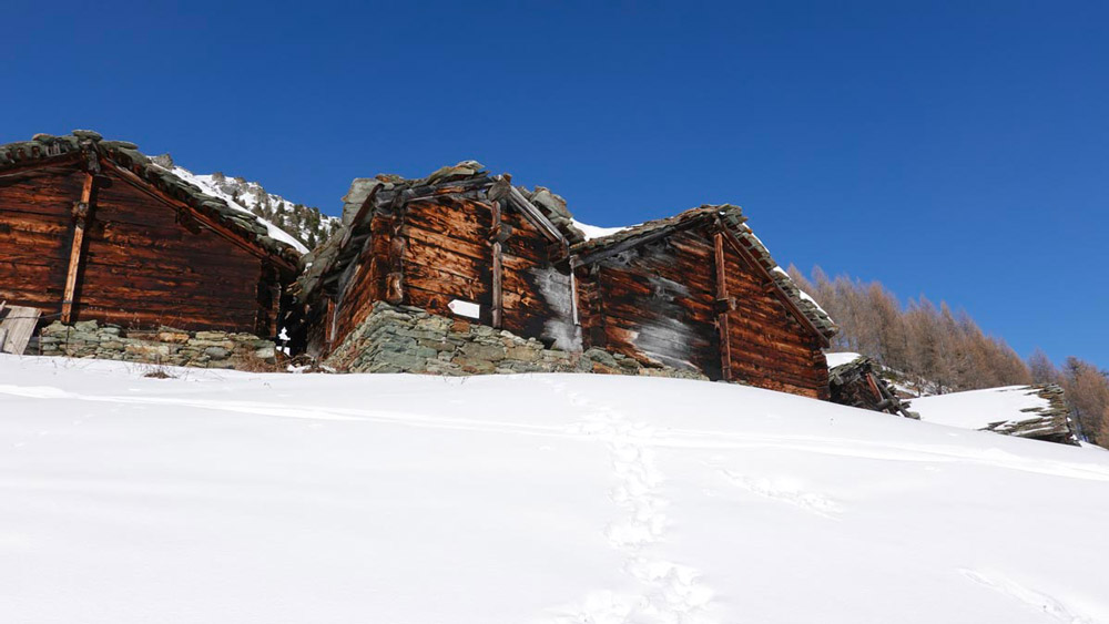
Snowshoes La Monta – Lac Bleu Location Val d’Hérens, Arolla Descriptif Superb winter snowshoe hike on the left bank of the Rhône, at the bottom of the Val d’Hérens near Arolla. Total length about 8 km Walking time 3-4 hours walking Elevation + et – +/- 484...
Sparrhorn Location right bank of the Rhone above Blatten bei Naters in the Upper Valais. Descriptif easy trail without technical difficulties. Sometimes poorly marked route. Total length 41 km-effort Walking time 18.1 km Elevation + et – +/- 1,735 mAltitude:...
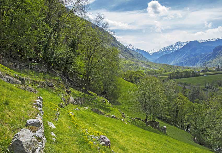
St Maurice Collonges Location This route runs along the right and left banks of the Rhône between St Maurice and Collonges. Descriptif not easy hiking not recommended for people prone to vertigo and young children. Total length about 14 km Walking time about 4 hours...