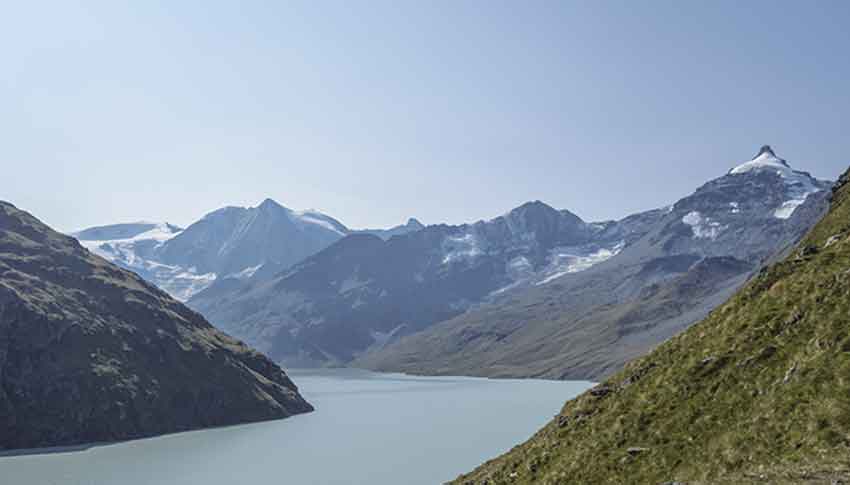
Panossière and Brunet hut/ (VS) Location Fionnay Val de Bagnes, direction Mauvoisin dam Descriptif difficult hike with some vertiginous passages, is done in two days. Total length about 24 km Walking time about 12 hours Elevation + et – approx. 2,300 meters...
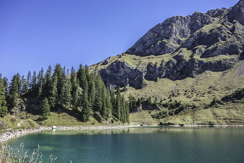
Pic Chaussy Location Vaud Alps, Col des Mosses, Lioson d’En Bas Descriptif not very difficult hike with the discovery of a magnificent mountain lake and a 360° panorama from the summit of Pic Chaussy Total length about 7 km Walking time about 4 hours Elevation + et...
Pointe du Six Rodze Location Right bank of the Rhone, Val d’Entremont after Martigny and before the Grand St Bernard pass. Descriptif Trail with exceptional views of the surrounding peaks. Pleasant climb in the forest before crossing the slopes of the coveted...
Pont Turrian Location Châteaux d’Oex, Vaud Alps Descriptif pretty loop hike around the Sarine Total length about 5 km Walking time 2 hours Elevation + et – +/- 140 meters National hiking map 1:50’000 262 Rochers de Naye Best period May to October Difficulty...
Pra Fleuri hut / Sentier des Bouquetins Location Val d’Hérens, Hérémence, left bank of the Rhône Descriptif not very difficult hike which is also named “ibex trail”. With luck you will see during the climb to the Col des Roux. Discovery of the dam Grande Dixence, the...