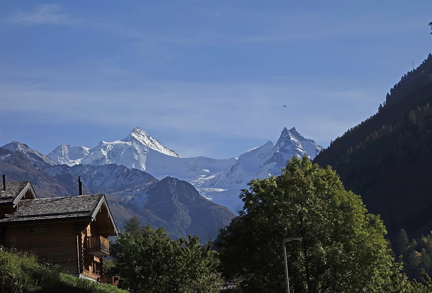
Tsina di Vio / Grand Mountet/ Location Val d’Anniviers from Zinal Descriptif – Total length about 11 km Walking time – Elevation + et – Altitude: between 1,700 and 2,900 meters National hiking map 1:50’000 no. 283 Arolla Best period from June to...
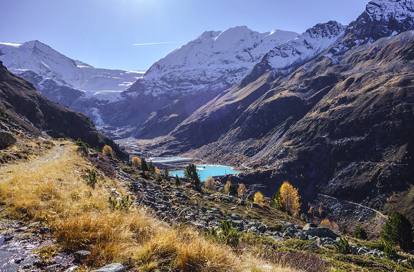
Turtmannhutt Location Upper Valais left bank, Turtmanntal Descriptif not very difficult hike that takes place in an authentic and preserved valley Total length about 11 km Walking time about 4 hours Elevation + et – +/-750 meters Altitude:between1900 and 2500...
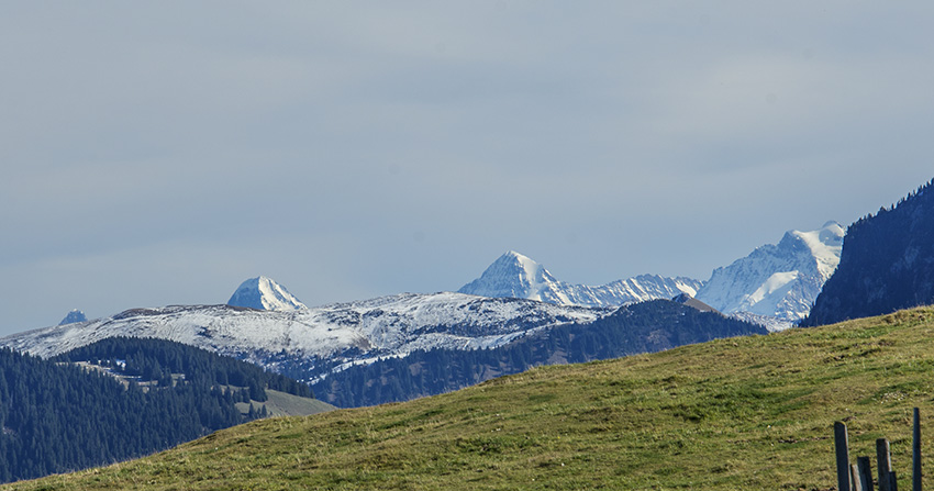
Vanil de la Monse Location Charmey Fribourg, on the road to the Jaun Pass, after Bulle and Broc Descriptif Difficult hike, with a climb from the “Gite à Bas” to Vanil de la Monse very steep (close to the 30 ° slope on 1.5 km). The descent from Vanil de la Monse also...
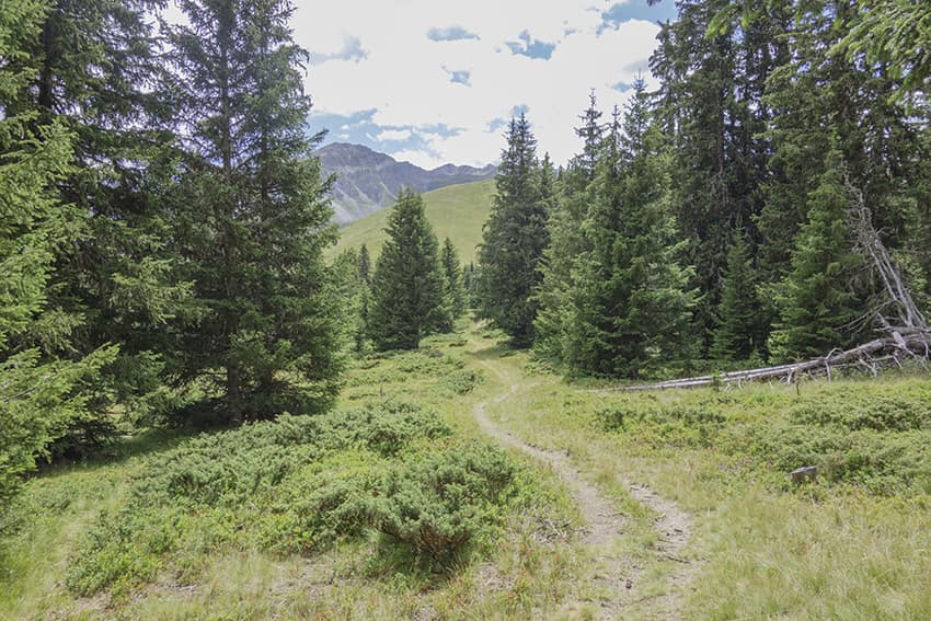
Vichères Tsamonay Location Val de Bagnes, on the Grand St Bernard axis, opposite Liddes Descriptif easy hike with a sumptuous 360° panorama as soon as you reach the 2000 meter altitude mark. Total length about 9 km Walking time about 3 hours Elevation + et –...
Vully / Historic Trail Location Lake Murten, commune of Sugiez Descriptif easy hike, discovering historic fortifications dating from the Helvetian times, medieval times and the First World War. Ideal to travel with children. Total length about 10 km Walking time...