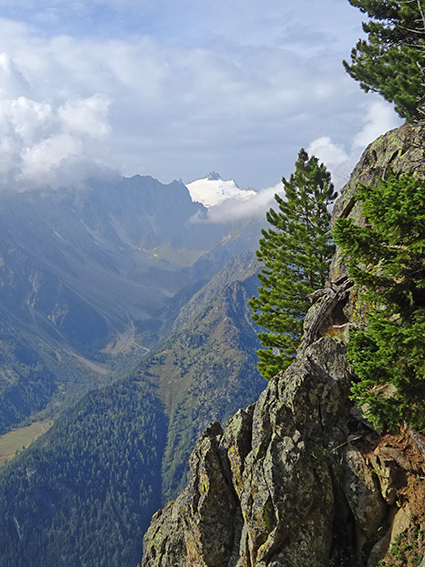
 Le Catogne Location Champex-Lac above Orsières (Val de Ferret), canton of Valais Descriptif magnificent hike with varied difficulties and landscapes. From the top of Catogne the panorama is just sublime. We can see Martigny and the Rhone plain, the Grand Chavalard,...
 Les Pléiades / La Neuve Location Above Vevey and Villard-sur Chamby Descriptif easy hike, between deciduous forest and flower meadows Total length about 9 km Walking time about 3 hours Elevation + et – +/-430 meters Altitude: between 1’150 and 1’500 meters...
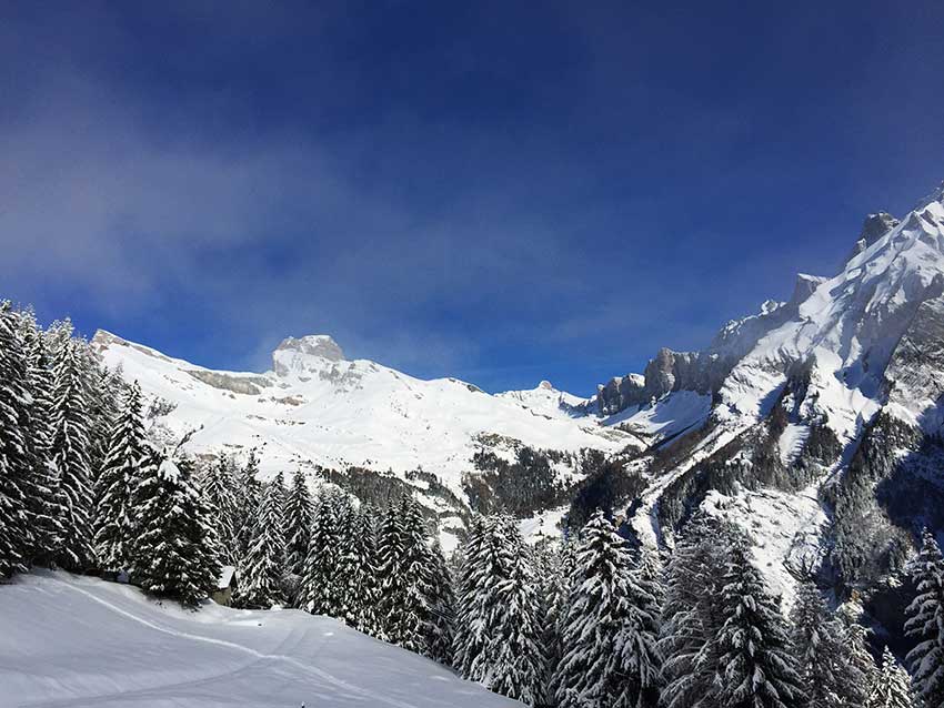
 Luan / Berneuse Location Luan above Yvorne and Corbeyrier Descriptif difficult hike, typical of the Vaudois Alps (steep climbs and descents) Total length about 10 km Walking time about 5 hours Elevation + et – +/-900 meters National hiking map 1:50’000 272 St...
 Mase / Champs Fleuris Location Central Valais, on the left bank of the Rhone above Mase Descriptif easy hike through beautiful flower meadows and a beautiful forest Total length about 5 km Walking time about 2 hours Elevation + et – +/-278 meters National...
 Mayens de My Location Conthey, vallée de la Morge, Mayens de My, on the right bank of the Rhône Descriptif hiking not difficult, without indication of route Total length about 11 km Walking time about 3 to 4 hours Elevation + et – +/-600 meters National hiking...
 Mont de l’Arpille Location Col de la Forclaz, above Martigny Descriptif not very difficult hike, with a magnificent 360 ° panorama of the vandoises alps, Bernoises alps, Valais Alps and the Mont Blanc massif. Total length about 6,5 km Walking time about 3 hours...