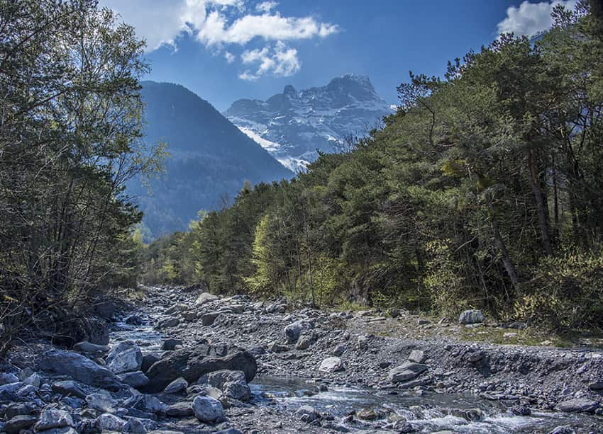
Bois Noir / Epinassey Location Epinassey near St Maurice (VS) Descriptif moderately difficult hike and relatively little run Total length about 6 km Walking time about 2 hours Elevation + et – +/- 331 meters Altitude: between 448 and 741 meters National hiking...
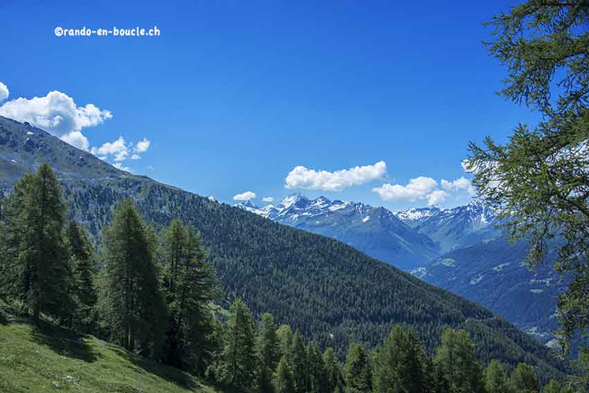
Chandolin / Grande Remointze Location Val d’Anniviers above Sierre, left bank of the Rhône Descriptif hiking not very difficult. No problem. Magnificent panorama of the Bernese Alps and the Matterhorn, the Dent Blanche, etc. Total length about 8 km Walking time 3 to...
Chemin-Dessus / La Crevasse Location Above Martigny on the Col des Planches road. Descriptif very nice hike through a magnificent larch forest and a sumptuous panorama of the Dents du Mid, the Trient and Combins mountains Total length about 12 km Walking time about 4...
Chilcheri / Eggeri Location Grächen in the Saas Valley and Zermatt Descriptif – Total length Approximately 11 km. Walking time – Elevation + et – Altitude : Between 1600 and 1840 metres. National hiking map 1:50’000 274 T Visp Best period June to...
Col des Eaux Froides / Audannes Hut Location Lake Tseuzier, Dam Rawil, on the right bank of the Rhone from Sion. Descriptif difficult trek with a crossing of « Lapiaz » to the lunar landscape and a descent by the spectacular Combe des Andins Total length about 15 km...
Corne and Brèche lakes Location central Valais, on the left bank of the Rhone at the height of the village of Grône. Descriptif very easy hike between the Puntafontana Nature reserve and the Sierre golf club Total length about 7 km Walking time about 2 hours...