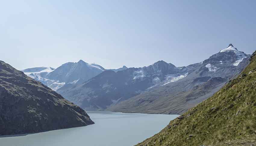
Pra Fleuri hut / Sentier des Bouquetins Location Val d’Hérens, Hérémence, left bank of the Rhône Descriptif not very difficult hike which is also named “ibex trail”. With luck you will see during the climb to the Col des Roux. Discovery of the dam Grande Dixence, the...
Prarion Location Between Nendaz station and Isérables Descriptif Magnificent autumn hike, discovering larches more than a hundred years old Total length about 7 km Walking time about 3 hours Elevation + et – +/-500 meters Altitude: between 1824 and 2258 meters...
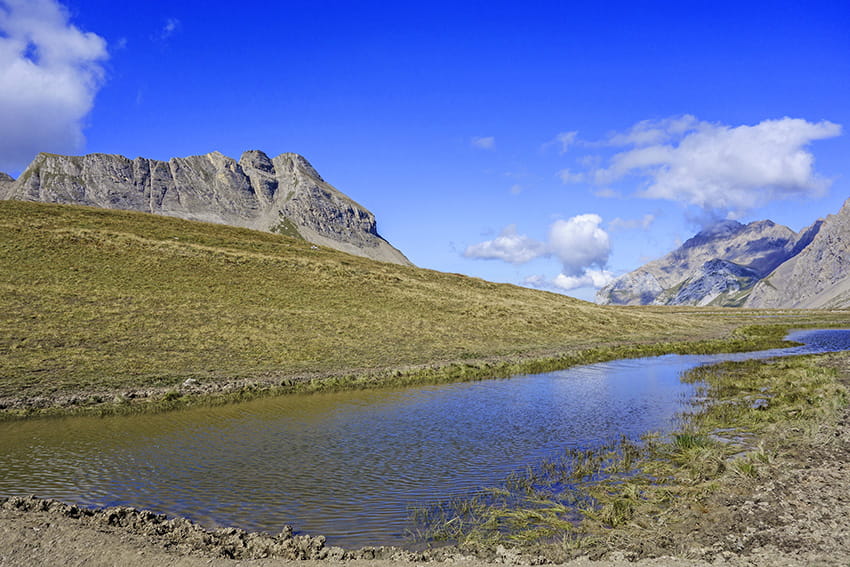
Prarochet Hut Location Sanetsch Pass, above Sion. On the right bank of the Rhone. Descriptif easy hike, in a slightly lunar landscape with a magnificent panorama of the Valais Alps. Total length about 9 km Walking time about 3 hours Elevation + et – +/-360...
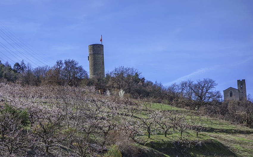
Saxon Sentier des abricots Location Village of Saxon on the left bank of the Rhône plain Descriptif hike not too difficult to do in March when the apricot trees are in bloom Total length about 5 km Walking time about 2 hours Elevation + et – +/- 342 meters...
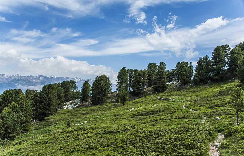
Sentier des charbonniers Location Central Valais, on the left bank of the Rhone above Vernamiège, Nax and Mase Descriptif a difficult hike around Mount Noble. Mountain hike requiring a secure foot. There are some passages, which without being dizzying, can cause...
Sex/ Riond Location Central Valais, Mayens de Conthey, right bank of the Rhône Descriptif not too difficult hike with a magnificent panorama of the Alps. Total length about 10 km Walking time about 3-4 hours Elevation + et – +/-635 meters Altitude: between 1540...