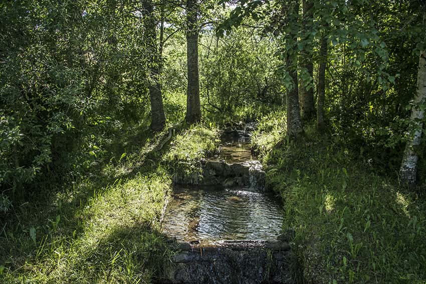
Joux lake tour Location Valley of Joux, Jura Vaudois Descriptif easy hiking with no particular problem around the largest mountain lake in the Jura. Discovering forest landscapes, green pastures and freshness of the water. Total length about 22 km Walking time 5 to 6...
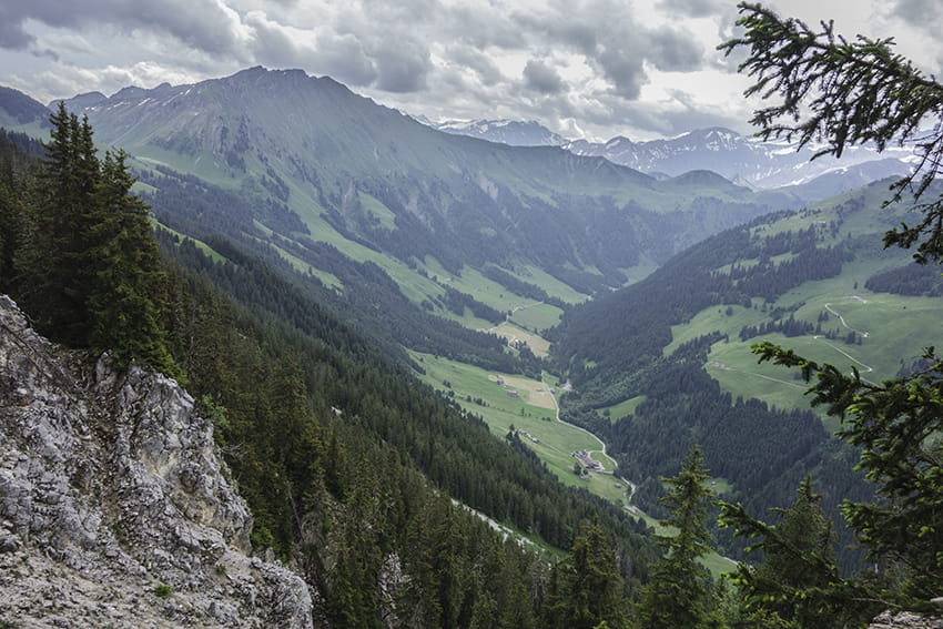
L’Etivaz / Plan de la Douve Location Canton of Vaud on the Château-d’Oex side of the Col des Mosses. Descriptif challenging hike. Sustained climb to the Douve refuge and very steady climb from the refuge to Plan de la Douve. Avoid for people prone to vertigo. The...
Les Pléiades / La Neuve Location Above Vevey and Villard-sur Chamby Descriptif easy hike, between deciduous forest and flower meadows Total length about 9 km Walking time about 3 hours Elevation + et – +/-430 meters Altitude: between 1’150 and 1’500 meters...
Luan / Berneuse Location Luan above Yvorne and Corbeyrier Descriptif difficult hike, typical of the Vaudois Alps (steep climbs and descents) Total length about 10 km Walking time about 5 hours Elevation + et – +/-900 meters National hiking map 1:50’000 272 St...
Mont Pèlerin Location Mont Pèlerin above Vevey, Chardonne Descriptif easy hike, between deciduous forest and flower meadows Total length about 10 km Walking time about 3 hours Elevation + et – +/-420 meters Altitude: between 850 and 1’100 meters National hiking...
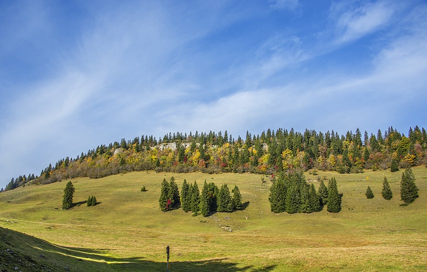
Mont Sâla Location Jura Vaudois, region Bassins, Arzier Descriptif easy hike, typical Jura topography. Magnificent views of Lake Geneva and Geneva’s water jet from the top of Mount Sâla Total length about 15 km Walking time about 4 hours Elevation + et – +/-493...