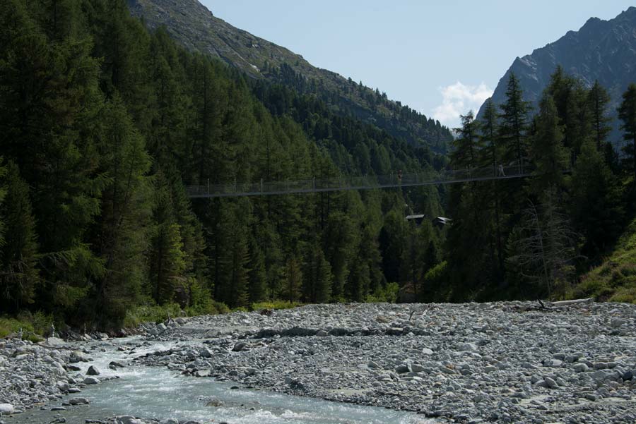
La Monta – Arolla Location Val d’Hérens, village of Arolla Descriptif easy hike Total length 7 km Walking time 2-3 hours Elevation + et – +/- 317 metersAltitude: between 1,794 and 1,937 meters Length and height of the bridge: 75 and 20 meters National hiking...
Les Pléiades / La Neuve Location Above Vevey and Villard-sur Chamby Descriptif easy hike, between deciduous forest and flower meadows Total length about 9 km Walking time about 3 hours Elevation + et – +/-430 meters Altitude: between 1’150 and 1’500 meters...
Mase / Champs Fleuris Location Central Valais, on the left bank of the Rhone above Mase Descriptif easy hike through beautiful flower meadows and a beautiful forest Total length about 5 km Walking time about 2 hours Elevation + et – +/-278 meters National...
Mayens de My Location Conthey, vallée de la Morge, Mayens de My, on the right bank of the Rhône Descriptif hiking not difficult, without indication of route Total length about 11 km Walking time about 3 to 4 hours Elevation + et – +/-600 meters National hiking...
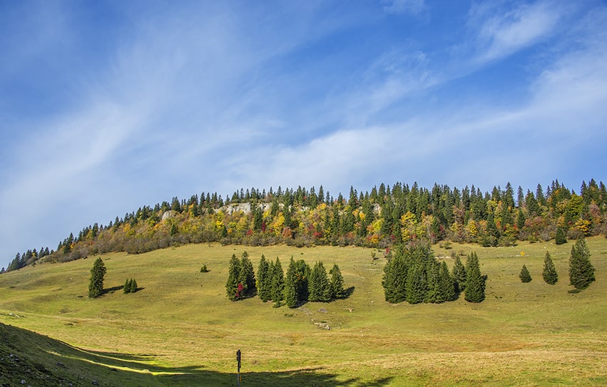
Mont Sâla Location Jura Vaudois, region Bassins, Arzier Descriptif easy hike, typical Jura topography. Magnificent views of Lake Geneva and Geneva’s water jet from the top of Mount Sâla Total length about 15 km Walking time about 4 hours Elevation + et – +/-493...
Moosalp / Törbel Location Upper-Valais, left bank of the Rhône. Above Visp, straddling Törbel and Bürchen. Descriptif very easy hike, ideal for families with young children. Total length about 6 km Walking time about 2 hours Elevation + et – +/- 264...