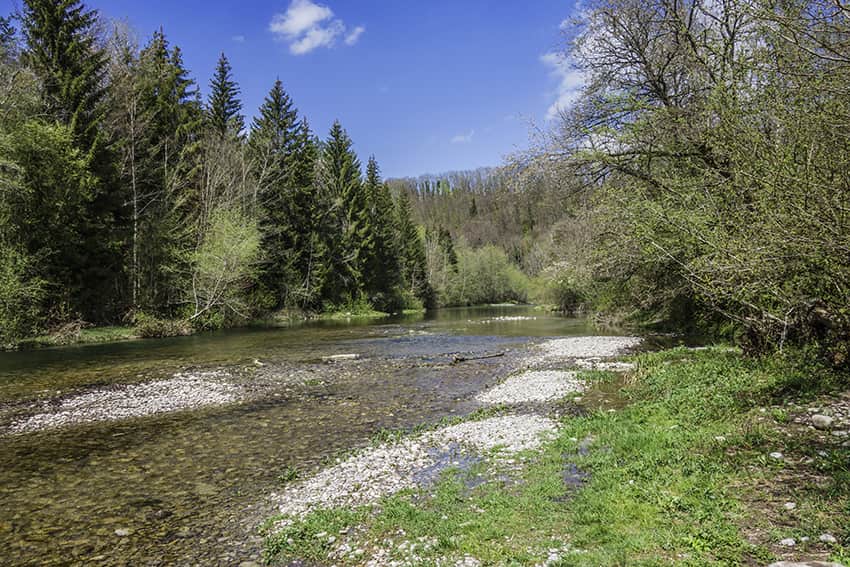
Around the Sarine – Hauterive Location canton of Fribourg, Posieux, Hauterive Abbey Descriptif very easy hike along the La Sarine river Total length about 10 km Walking time about 2-3 hours Elevation + et – +/- 261 meters Altitude: between 576 and 681 meters...
Aspi Titter suspension bridge Location Valley of Conches, villages of Fiesch, Egga, Ried, Bellwald Descriptif Beautiful hike in a region that exudes serenity and authenticity Total length about 7 km Walking time about 2-3 hours Elevation + et – +/- 550 meters...
Audannes hut Location Anzère, on the right bank of the Rhone above Sion Descriptif difficult hike with a lot of negative elevation and delicate passages requiring a secure foot and not be subject to vertigo. Total length about 16 km Walking time 5 to 6 hours...
Augsbordhorn Location Left bank of the Rhone, above Visp, towards Moosalp-Törbel Descriptif Superb aerial trail that runs along the easy ridges of the March Violenhorn and the Augsbordhorn for more than half of the route. Extraordinary view of the highest peaks of...
Becca d’Audon Location Central Valais above Savièse, Sanetschpass right bank of the Rhône Descriptif very difficult hike with Glacier passage Total length approx. 11 am if all the way is walked. When using the lifts, allow about 7 hours of walking. Walking time...