 Mont Pèlerin Location Mont Pèlerin above Vevey, Chardonne Descriptif easy hike, between deciduous forest and flower meadows Total length about 10 km Walking time about 3 hours Elevation + et – +/-420 meters Altitude: between 850 and 1’100 meters National hiking...
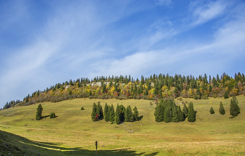 Mont Sâla Location Jura Vaudois, region Bassins, Arzier Descriptif easy hike, typical Jura topography. Magnificent views of Lake Geneva and Geneva’s water jet from the top of Mount Sâla Total length about 15 km Walking time about 4 hours Elevation + et – +/-493...
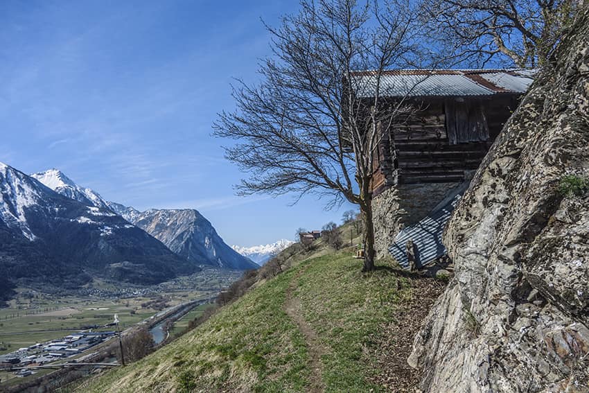
 Moosalp / Törbel Location Upper-Valais, left bank of the Rhône. Above Visp, straddling Törbel and Bürchen. Descriptif very easy hike, ideal for families with young children. Total length about 6 km Walking time about 2 hours Elevation + et – +/- 264...
 Niedergampel Location Upper Valais, village of Niedergampel Descriptif moderately difficult hike and relatively little run Total length about 9 km Walking time about 4 hours Elevation + et – +/- 700 meters Altitude: between 651 and 1084 meters National hiking...
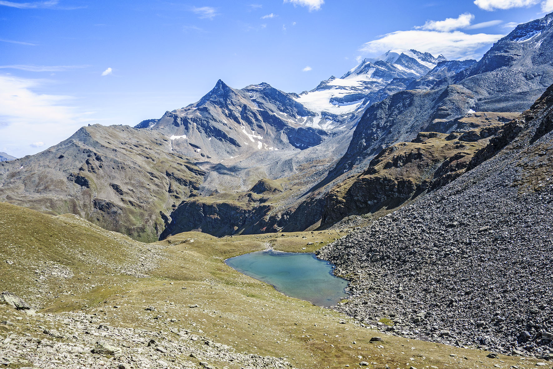 Ochsehorn Location Visperterminen above Visp, left bank of the Rhone Descriptif very difficult hike, beautiful ridge race Total length about 16 km Walking time about 7 hours Elevation + et – +/-1000 meters National hiking map 1:50’000 274 Visp Best period June...
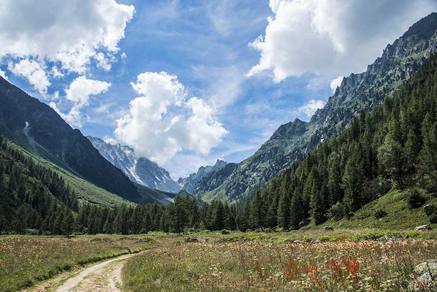 Orny hut Location Champex on the left bank of the Rhone above Martigny and Orsières. Descriptif Difficult hike for experienced walker with sure foot. During the ascent to the Col de la Breya and the descent of the Revers d’Arpette there are many objective risks (risk...