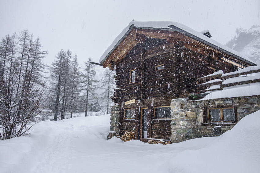
Evolène / les Haudères Location Val d’Hérens Descriptif very easy hike, can be walked if it hasn’t snowed too much. As soon as there has been heavy snowfall to be covered in snowshoes. Total length about 9 km Walking time between 1343 and 1554 meters Elevation + et...
Flüekapelle / Dala Location Upper Valais left bank, Turtmanntal Descriptif easy hike that winds through the cool Dala River Gorge Total length easy variant about 5 km, variant 2 about 7 km Walking time easy variant approx. 2 hours, variant 2 about 3 hours Elevation +...
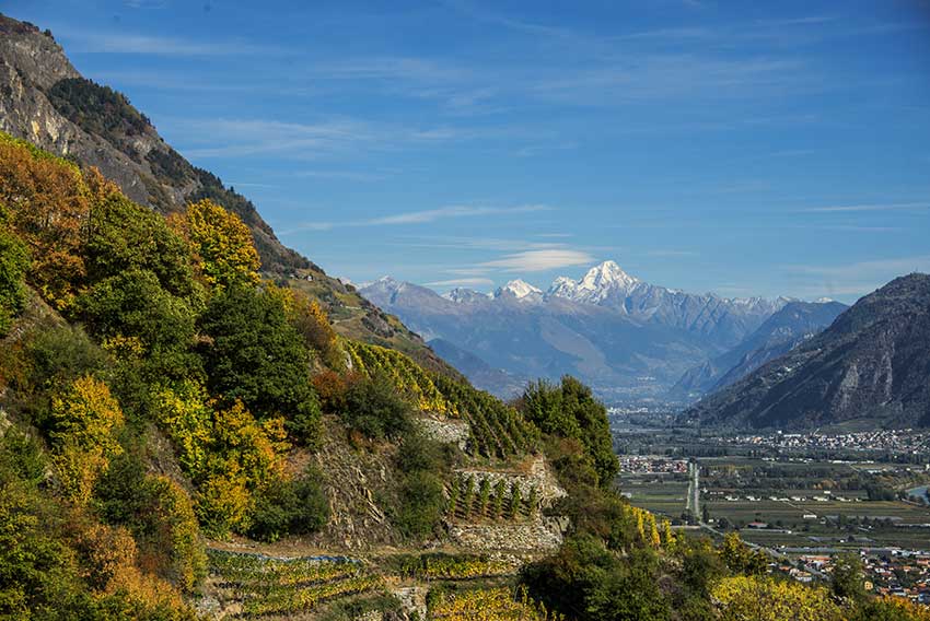
Fully / Tassonières Location Fully on the right bank of the Rhone Descriptif Not very easy hike starting through the famous chestnut grove of Fully and following the vineyards over LA Combe d’Enfer and through beautiful forests of hardwoods. Very beautiful autumn...
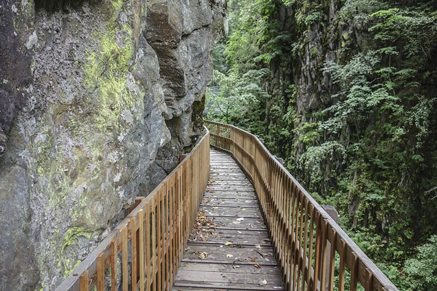
Gorges du Durnand Location Val de Bagnes, between the villages of Les Valettes and Le Borgeaud Descriptif The spectacular course of the Gorges is easy except for the 300 steps and the passage of footbridges for people suffering from vertigo. The return of this part...
Grand Paradis / Champéry Location on the left bank of the Rhône Val d’Illiez – Champéry Descriptif not very easy hiking under the Dents du Midi Total length about 8 km Walking time 3 to 4 hours Elevation + et – +/-600 meters National hiking map 1:50’000 St...
Haut du Mollendruz Location col du Mollendruz, Vaud Descriptif Beautiful hike with beautiful panoramas on Lake Geneva, the lakes of Joux, Brenet and the valley of Joux. Total length about 11 km Walking time about 3-4 hours Elevation + et – +/- 425 meters...