Lower Valais

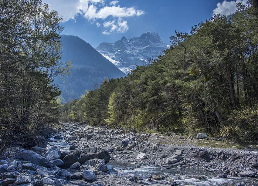
Bois Noir / Epinassey
LocationEpinassey near St Maurice (VS)Descriptif moderately difficult hike and relatively little runTotal lengthabout 6 kmWalking timeabout 2 hoursElevation + et -+/- 331 meters Altitude: between 448 and 741 metersNational hiking map 1:50’000 272 T St MauriceBest...

Chemin-Dessus / La Crevasse
LocationAbove Martigny on the Col des Planches road.Descriptif very nice hike through a magnificent larch forest and a sumptuous panorama of the Dents du Mid, the Trient and Combins mountainsTotal lengthabout 12 kmWalking timeabout 4 to 5 hoursElevation + et -+/-800...

Dent de Valerette / Dent de Valère
LocationBas-Valais, above Monthey, Choex, Les GiettesDescriptif difficult hike with a magnificent 360° panoramaTotal lengthabout 9 kmWalking timeabout 4 hoursElevation + et -+/- 820 metersAltitude: between 1602 and 2267 metersNational hiking map 1:50’000 272 T St...

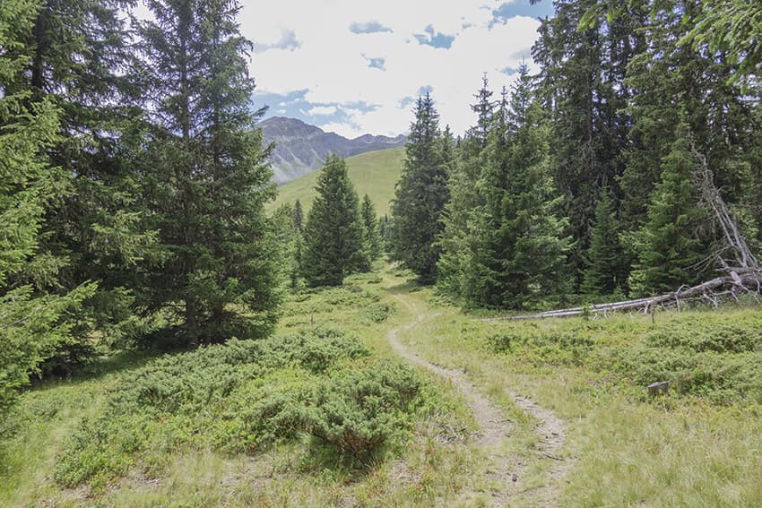
Fenêtre de Ferret/Col du Bastillon/Pas des Chevaux
LocationGrand St Bernard pass, Swiss – Italian borderDescriptif beautiful difficult and very busy hikeTotal lengthabout 12 kmWalking timeabout 5 hoursElevation + et -+/- 1040 meters Altitude: between 2408 and 2761 metersNational hiking map 1:50’000 292 CourmayeurBest...
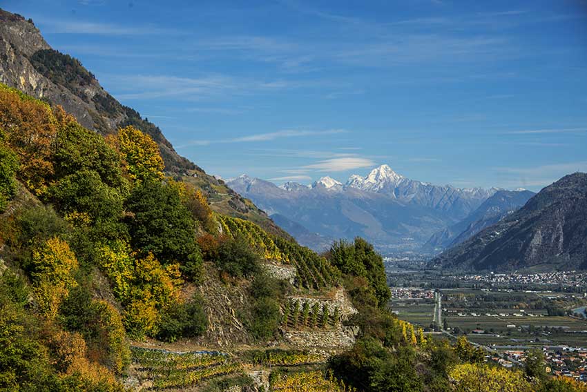
Fully / Tassonières
LocationFully on the right bank of the RhoneDescriptif Not very easy hike starting through the famous chestnut grove of Fully and following the vineyards over LA Combe d’Enfer and through beautiful forests of hardwoods. Very beautiful autumn hike.Total lengthabout 5...
Gorges du Dailley
LocationTrient Valley, departure from the village of Les Granges after SalvanDescriptif Spectacular hike along the Gorges du Dailley up 600 steps!Total lengthabout 5,5 kmWalking timeabout 2 to 3 hoursElevation + et -+/- 364 meters Altitude: between 1067 and 1366...
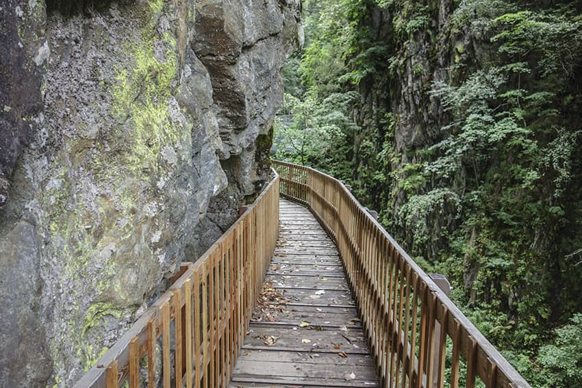
Gorges du Durnand
LocationVal de Bagnes, between the villages of Les Valettes and Le BorgeaudDescriptif The spectacular course of the Gorges is easy except for the 300 steps and the passage of footbridges for people suffering from vertigo. The return of this part of the route is...
Grand Chavalard tour
LocationRight bank of the Rhône, Ovronnaz, above Fully, Leytron and ChamosonDescriptif Average hike for walkers used to long walks. Shoes with a good profile and covering the ankles recommended. Magnificent panorama on the lakes of Fully and Sorniot.Total lengthabout...
Grand Paradis / Champéry
Locationon the left bank of the Rhône Val d’Illiez – ChampéryDescriptif not very easy hiking under the Dents du MidiTotal lengthabout 8 kmWalking time3 to 4 hoursElevation + et -+/-600 metersNational hiking map 1:50’000 St Maurice 272Best periodMay to...
Le Catogne
LocationChampex-Lac above Orsières (Val de Ferret), canton of ValaisDescriptif magnificent hike with varied difficulties and landscapes. From the top of Catogne the panorama is just sublime. We can see Martigny and the Rhone plain, the Grand Chavalard, the Pierre...

Mont de l’Arpille
LocationCol de la Forclaz, above MartignyDescriptif not very difficult hike, with a magnificent 360 ° panorama of the vandoises alps, Bernoises alps, Valais Alps and the Mont Blanc massif.Total lengthabout 6,5 kmWalking timeabout 3 hoursElevation + et -+/-500...
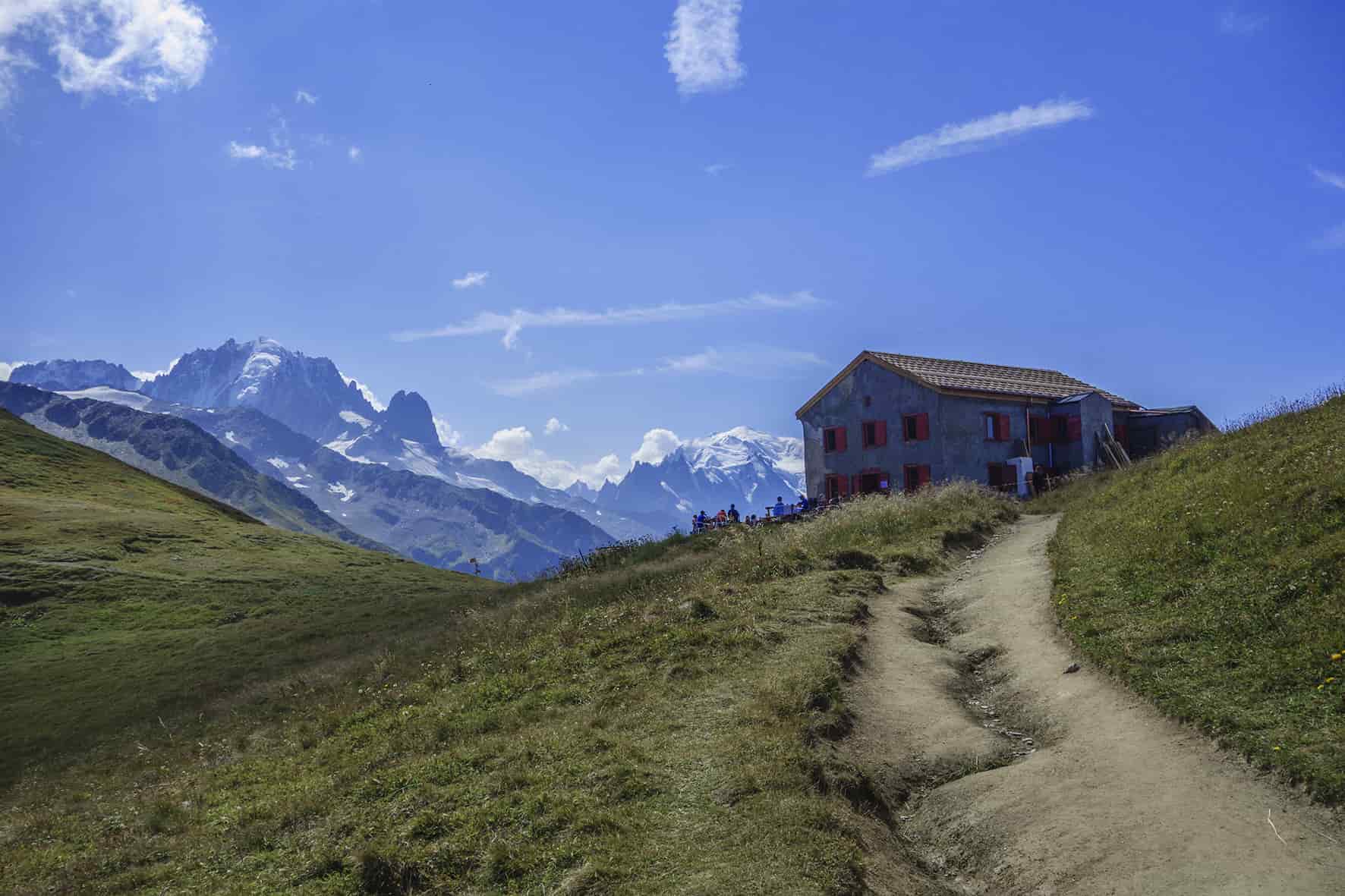
Orny hut
LocationChampex on the left bank of the Rhone above Martigny and Orsières.Descriptif Difficult hike for experienced walker with sure foot. During the ascent to the Col de la Breya and the descent of the Revers d’Arpette there are many objective risks (risk of falling...

Panossière and Brunet hut
LocationFionnay Val de Bagnes, direction Mauvoisin damDescriptif difficult hike with some vertiginous passages, is done in two days.Total lengthabout 24 kmWalking time12 hoursElevation + et -approx. 2,300 metersNational hiking map 1:50’000 283 T ArollaBest periodJune...
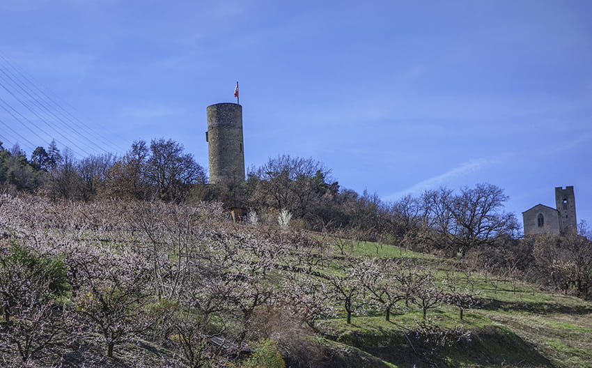
Saxon Sentier des abricots
LocationVillage of Saxon on the left bank of the Rhône plainDescriptif hike not too difficult to do in March when the apricot trees are in bloomTotal lengthabout 5 kmWalking timeabout 2 hoursElevation + et -+/- 342 meters Altitude: between 524 and 805 metersNational...
St Maurice Collonges
LocationThis route runs along the right and left banks of the Rhône between St Maurice and Collonges.Descriptif not easy hiking not recommended for people prone to vertigo and young children.Total lengthabout 14 kmWalking timeabout 4 hoursElevation + et --National...

Tête de Ferret
LocationVal de Bagnes, above Ferret and La FoulyDescriptif magnificent hike with a large drop in height on the border of Switzerland and ItalyTotal lengthabout 16 kmWalking timeabout 6 hoursElevation + et -+/- 1’200 meters Altitude: between 1,644 and 2,711...

Tour des Dents du Midi
LocationLower-Valais, left bank of the Rhône, above Monthey in the Val d´Illiez.Descriptif very nice three-day hike in a grandiose panorama.Total lengthabout 51 kmWalking time approx. 7-8 hours/dayElevation + et -+/- 3875 meters Altitude: between 1000 and 2500...
Tour des Goli de Brunet
Locationleft bank of the Val de Bagnes, above Lourtier and Fionnay from the Marcel Brunet cabin.Descriptif difficult hike requiring a good sense of route and very sure footing.Total lengthabout 11 kmWalking time4 to 5 hoursElevation + et -+/- 868 m Altitude: between...
Trient / col de Balme
LocationCommune of Trient after the Forclaz pass above MartignyDescriptif difficult hike, very steep climbs and descentsTotal lengthabout 12 kmWalking timeabout 5 to 6 hoursElevation + et -+/-1100 metersNational hiking map 1:50’000 282 MartignyBest periodJune to...
Vichères Tsamonay
LocationVal de Bagnes, on the Grand St Bernard axis, opposite LiddesDescriptif easy hike with a sumptuous 360° panorama as soon as you reach the 2000 meter altitude mark.Total lengthabout 9 kmWalking timeabout 3 hoursElevation + et - +/- 532 metersAltitude: between...