Upper Valais
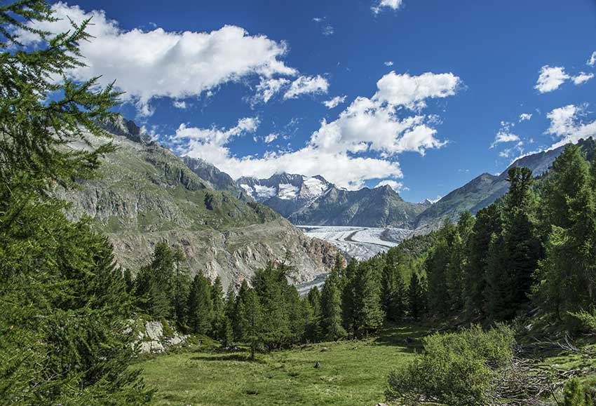
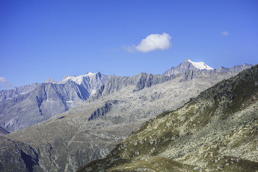
Aletsch / Arena
LocationRiederalp, in the Conches valley on the right bank of the Rhone from MörelDescriptif Easy hike in the environment of the Aletsch GlacierTotal lengthabout 10 kmWalking time3 to 4 hoursElevation + et -+/-500 metersNational hiking map 1:50’000 Jungfrau 264 TBest...
Anenhuette
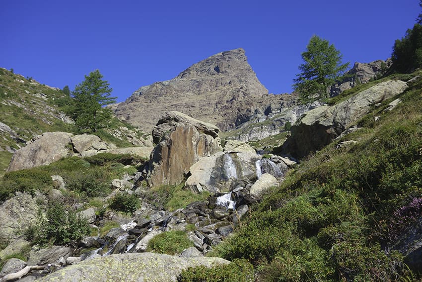
LocationLötschental – Fafleralp, Upper Valais right bank of the RhoneDescriptif not difficult hike without any particular problem. The last climb on the old moraine, before arriving at the hut, may possibly cause problems for people very sensitive to vertigo.Total...
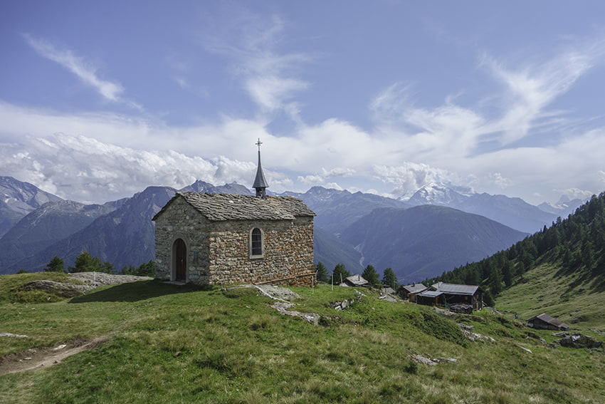
Bettmeralp / Riederalp
Locationon the right bank of the Rhône, Goms valley, above Mörel and BettenDescriptif snowshoe hike, easy, with a magnificent panorama of Mischabels, Matterhorn and WeisshornTotal lengthabout 4 kmWalking timeapprox. 2 hoursElevation + et -+/-250 metersNational hiking...
Binntal – Mässersee
LocationGoms valley, on the left bank of the Rhône in the BinntalDescriptif not very easy hiking that takes place in the landscaped park of Binntal. Region also known for its crystalsTotal lengthabout 8 kmWalking time3 to 4 hoursElevation + et -+/-700 metersNational...
Binntal/Alpe Devero
LocationHaut-Valais, in the Goms valley, hike taking place between Switzerland and Italy.Descriptif challenging hike over two days. The second stage presents passages with ladders, a complicated crossing of a morainic sector and a rather dizzying descent through...
Chilcheri / Eggeri
LocationGrächen in the Saas Valley and ZermattDescriptif -Total lengthApproximately 11 km.Walking time-Elevation + et -Altitude : Between 1600 and 1840 metres.National hiking map 1:50’000 274 T VispBest periodJune to early October.DifficultyT1Useful informationPrint...
Eggen Egga Eggen
Locationcanton of Valais in the Germanic part on the right bank of the Rhône above Visp.Descriptif easy hike to discover a magnificent region between green meadows, deciduous and coniferous forest and typical hamlet with century-old raccards burned by the sun and very...
Erschmatt
LocationHaut-Valais, right bank of the Rhône after and above Leuk – townDescriptif Not too difficult hike which takes place in a dry environment typical of the Rhône valleyTotal lengthabout 8 kmWalking timeabout 3 hoursElevation + et -+/- 463 meters Altitude: between...
Foggenhorn
LocationRight bank of the Rhône above Brig, Blatten b. Naters, BelalpDescriptif very nice hike not too difficult with magnificent panoramasTotal lengthvariant A: 11 km, variant B: 13 kmWalking timeVariant A approx. 4 hours, variant B 5 to 6 hoursElevation + et...
Honeggerhorn / Risihorn
LocationHaut-Valais, in the Goms valley above the village of Bellwald.Descriptif beautiful hike with a panoramic view of the Valais and Bernese Alps. The ascents of Honeggerhorn and Risihorn which can be avoided are rated T4.Total lengthabout 9 kmWalking timeabout 4...
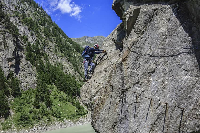
Klettersteig Aletsch
LocationHaut-Valais, Gibidum dam reachable from Blatten bei Naters above NatersDescriptif Extraordinary very difficult hike, which takes place ⅔ in a via ferrata situation and ⅓ walking around the Gibidum damTotal lengthabout 3,5 kmWalking time3 hours from the dam...

Moosalp / Törbel
LocationUpper-Valais, left bank of the Rhône. Above Visp, straddling Törbel and Bürchen.Descriptif very easy hike, ideal for families with young children.Total lengthabout 6 kmWalking timeabout 2 hoursElevation + et -+/- 264 metersAltitude: Between 1,936 and 2,121...
Niedergampel
LocationUpper Valais, village of NiedergampelDescriptif moderately difficult hike and relatively little runTotal lengthabout 9 kmWalking timeabout 4 hoursElevation + et -+/- 700 meters Altitude: between 651 and 1084 metersNational hiking map 1:50’000 274 VispBest...
Ochsehorn
LocationVisperterminen above Visp, left bank of the RhoneDescriptif very difficult hike, beautiful ridge raceTotal lengthabout 16 kmWalking timeabout 7 hoursElevation + et -+/-1000 metersNational hiking map 1:50’000 274 VispBest periodJune to October (depending on the...
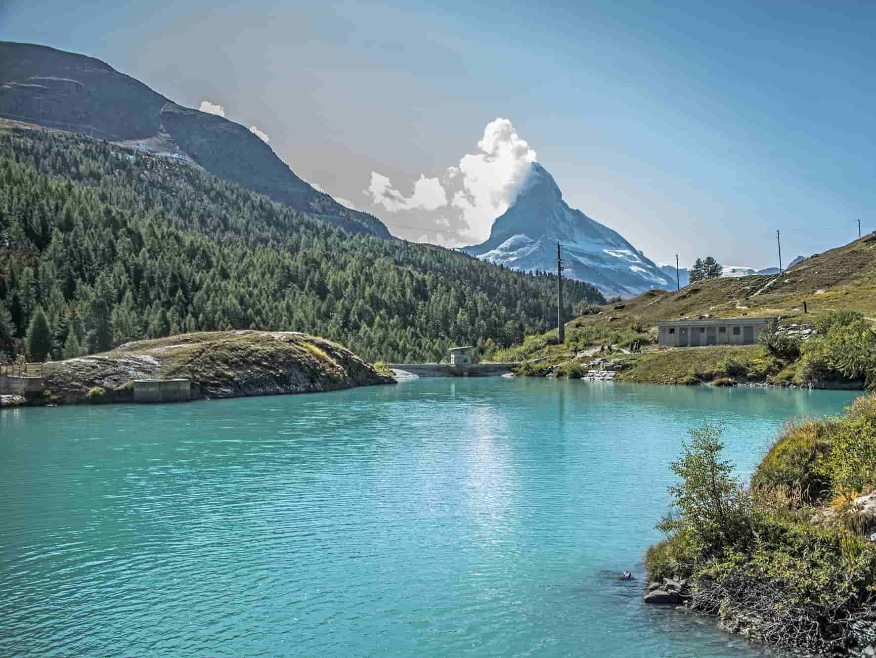
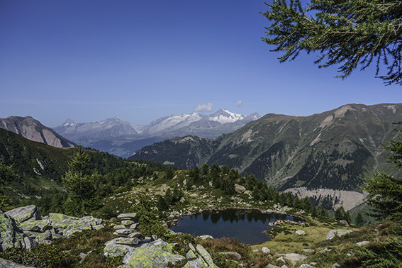
tour of 5 lake Zermatt (VS)
LocationZermatt above Visp, left bank of the RhoneDescriptif not too difficult hike with a magnificent panorama of the Alps and Lake Neuchâtel on a clear day.Total lengthabout 11 kmWalking timeabout 4 hoursElevation + et -+262 meters / -529 meters Altitude : between...
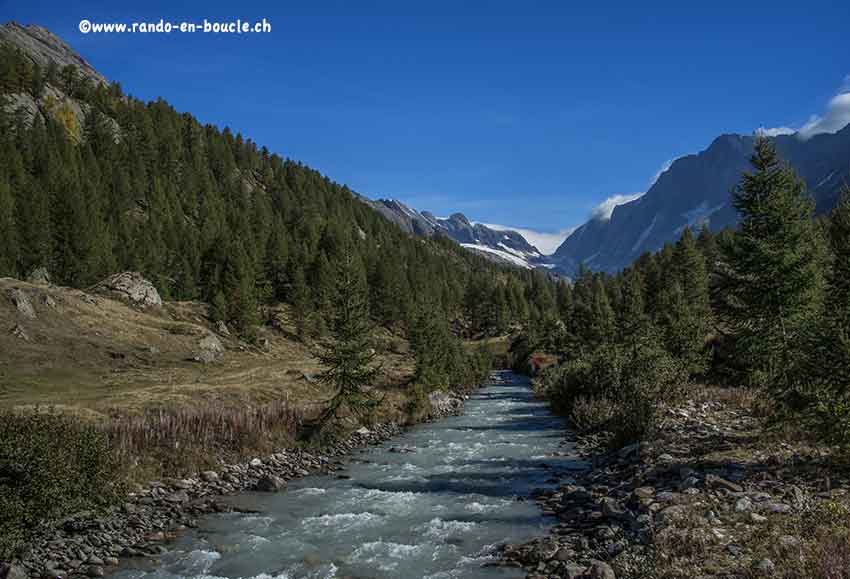
Turtmannhutt
LocationUpper Valais left bank, TurtmanntalDescriptif not very difficult hike that takes place in an authentic and preserved valleyTotal lengthabout 11 kmWalking timeabout 4 hoursElevation + et -+/-750 meters Altitude:between1900 and 2500 metersNational hiking map...