Valais Central

Alpage de Mase / Mont Noble
LocationVal d’Hérens, on the left bank of the Rhône above Sion and MaseDescriptif Hike that first follows the bisse de Tsa Crêta and passes through the very nice Alpage de Mase and ends by reaching the easy summit of Mont NobleTotal lengthabout 10 kmWalking timeabout...

Alpage du Pointet
LocationMayens de My (Conthey), right bank of the Rhone.Descriptif not very easy hike, with a magnificent panorama of the Valais Alps.Total lengthabout 13 kmWalking timeabout 5 to 6 hoursElevation + et -+/-930 meters Altitude: between 1’400 and 2’100 metersNational...

Aminona – Cave du Scex
LocationCrans – Montana on the right bank of the Rhone above SierreDescriptif Beautiful hike with a superb panorama of the Valais Alps.Total lengthabout 9 kmWalking time2 to 3 hoursElevation + et -+/- 400 metersNational hiking map 1:50’000 273 T MontanaBest periodas...
Arbaz / Incron / Arbaz
LocationMayens d’Arbaz above Sion on the right bank of the RhôneDescriptif not very difficult hike, which takes place in the valley of Sionne. It is less known than the stars like the valley of Réchy or Derborence, so much less crowded, (which is not unpleasant) and...
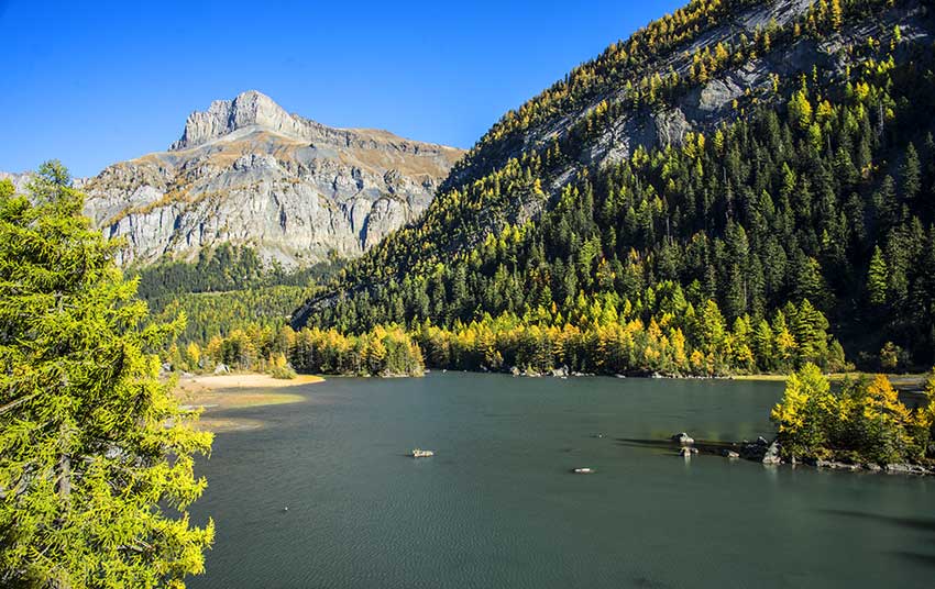
Arbey Lake – Evolène
LocationVal d’Hérens on the left bank of the RhôneDescriptif easy hike with a nice little lake and a wonderful view of the Dent BlancheTotal lengthabout 6 kmWalking timeabout 2-3 hoursElevation + et -+/- 500 meters Altitude: between 1377 and 1772 metersNational hiking...
Arolla / Aiguilles rouges hut
LocationArolla, on the left bank of the Rhone – Val d’Hérens – from SionDescriptif not very difficult hike, in a high alpine environmentTotal lengthabout 13 kmWalking time5 to 6 hoursElevation + et -+/-1000 metersNational hiking map 1:50’000 283 T ArollaBest...
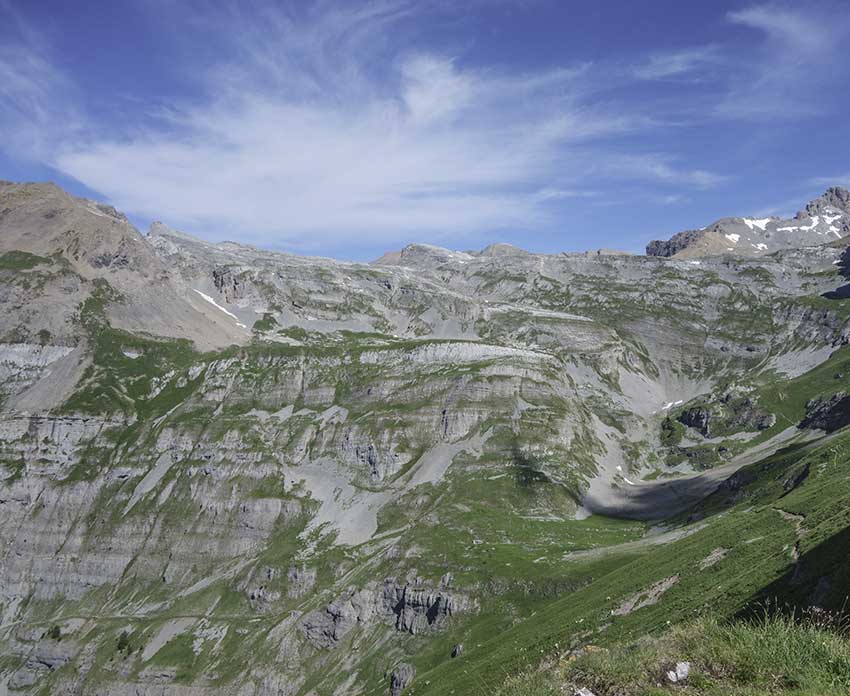
Around Mont Gond
LocationCentral Valais, between the Derborence valley and the Sanetsch, right bank of the RhôneDescriptif fairly uncrowded challenging hikeTotal lengthabout 11 kmWalking timeabout 4 hoursElevation + et -+/- 751 meters Altitude: between 1911 and 2351 metersNational...
Audannes hut
LocationAnzère, on the right bank of the Rhone above SionDescriptif difficult hike with a lot of negative elevation and delicate passages requiring a secure foot and not be subject to vertigo.Total lengthabout 16 kmWalking time 5 to 6 hoursElevation + et -Positive...
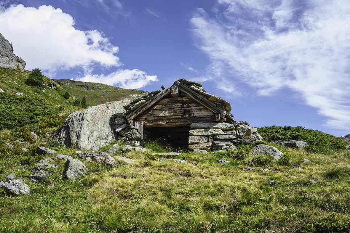
Becca d’Audon
LocationCentral Valais above Savièse, Sanetschpass right bank of the RhôneDescriptif very difficult hike with Glacier passageTotal lengthapprox. 11 am if all the way is walked. When using the lifts, allow about 7 hours of walking.Walking timecomplete course 2’000...
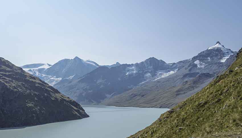
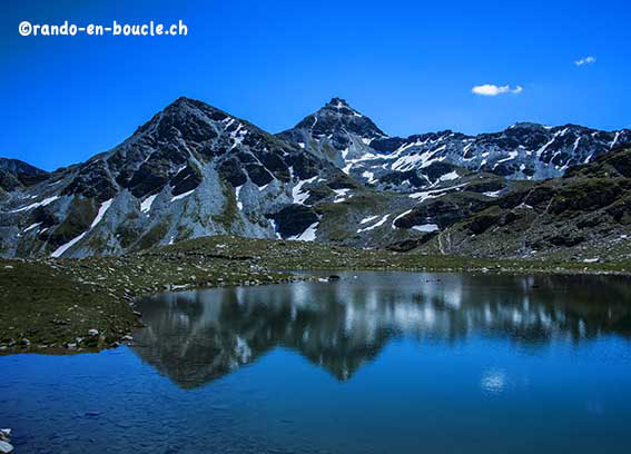
Becs de Bosson Hut
Locationstraddling the Val d’Hérens and the Val d’AnniviersDescriptif very nice hike with magnificent panoramas of the Bernese and Valais AlpsTotal length12 kmWalking timeapprox. 5 hoursElevation + et -+/- 982 meters Altitude: between 2,128and 2,985 meters,National...
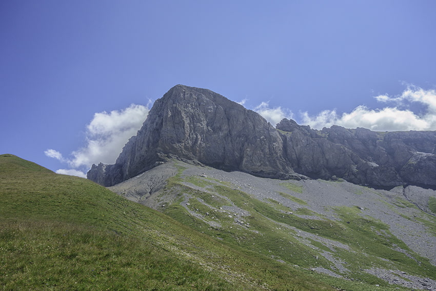
Bella Tola
LocationVal d’Anniviers, above St. LucDescriptif difficult hike with the highest point at 3025 meters above sea level.Total lengthabout 12 kmWalking timeabout 4-5 hoursElevation + et -+/- 900 meters Altitude: between 2141 and 3025 metersNational hiking map 1:50’000...
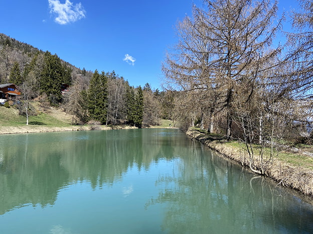
Binii / Etang de Mouchy (VS)
LocationCentral Valais, on the right bank of the Rhone above Sion and SavièseDescriptif very easy hike on a magnificent plateau with an exceptional panorama on the Val d’Hérens.Total lengthabout 8 kmWalking time2 hoursElevation + et -+/-300 metersNational hiking map...
Bois de Finges / (VS)
LocationFinges regional park between Sierre and Susten (VS)Descriptif easy hike in the beautiful regional park and largest natural pine forest in central Europe.Total lengthabout 9 kmWalking timeabout 4 hoursElevation + et -+/- 322 meters Altitude: between 543 and 602...
Chandolin / Grande Remointze
LocationVal d’Anniviers above Sierre, left bank of the RhôneDescriptif hiking not very difficult. No problem. Magnificent panorama of the Bernese Alps and the Matterhorn, the Dent Blanche, etc.Total lengthabout 8 kmWalking time3 to 4 hoursElevation + et -about 550...

Col des Eaux Froides / Audannes Hut
LocationLake Tseuzier, Dam Rawil, on the right bank of the Rhone from Sion.Descriptif difficult trek with a crossing of « Lapiaz » to the lunar landscape and a descent by the spectacular Combe des AndinsTotal lengthabout 15 kmWalking timeabout 6 hoursElevation + et...

Corne and Brèche lakes
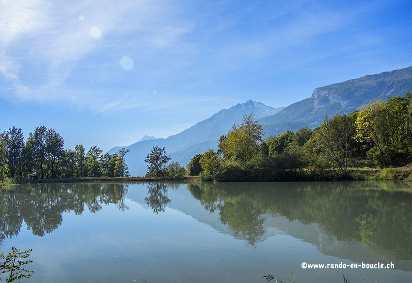
Locationcentral Valais, on the left bank of the Rhone at the height of the village of Grône.Descriptif very easy hike between the Puntafontana Nature reserve and the Sierre golf clubTotal lengthabout 7 kmWalking timeabout 2 hoursElevation + et -+/-30 metersNational...
Dent de Nendaz / Le Basso d’Alou
LocationHaute Nendaz above Sion on the left bank of the RhôneDescriptif depending on the variant chosen difficult hike. 1st variant shorter from the top of the gondola Tracouet and the second variant from Pracondu following the bisse of Saxon to reach first Basso and...
Derborence / Mombas
LocationValley of Derborence on the right bank of the Rhone above ContheyDescriptif a difficult hike for a safe walker. Some passages are not recommended for people subject to vertigo (there is a variant by Godé lake that avoids air passages). Very hilly hike from...
Evolène / les Haudères
LocationVal d’HérensDescriptif very easy hike, can be walked if it hasn’t snowed too much. As soon as there has been heavy snowfall to be covered in snowshoes.Total lengthabout 9 kmWalking timebetween 1343 and 1554 metersElevation + et -+/-367 meters Altitude: between...
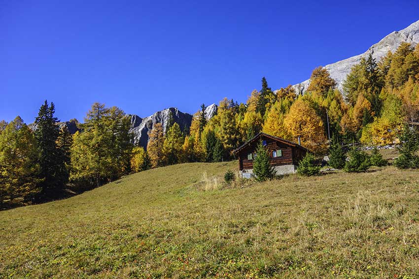
Mase / Champs Fleuris
LocationCentral Valais, on the left bank of the Rhone above MaseDescriptif easy hike through beautiful flower meadows and a beautiful forestTotal lengthabout 5 kmWalking timeabout 2 hoursElevation + et -+/-278 metersNational hiking map 1:50’000 Montana 273Best...
Mayens de My
LocationConthey, vallée de la Morge, Mayens de My, on the right bank of the RhôneDescriptif hiking not difficult, without indication of routeTotal lengthabout 11 kmWalking timeabout 3 to 4 hoursElevation + et -+/-600 metersNational hiking map 1:50’000 273 MontanaBest...
Pra Fleuri hut / Sentier des Bouquetins
LocationVal d’Hérens, Hérémence, left bank of the RhôneDescriptif not very difficult hike which is also named “ibex trail”. With luck you will see during the climb to the Col des Roux. Discovery of the dam Grande Dixence, the highest damweight in the world.Total...

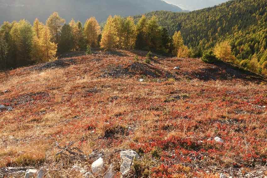
Prarion
LocationBetween Nendaz station and IsérablesDescriptif Magnificent autumn hike, discovering larches more than a hundred years oldTotal lengthabout 7 kmWalking timeabout 3 hoursElevation + et -+/-500 meters Altitude: between 1824 and 2258 metersNational hiking map...
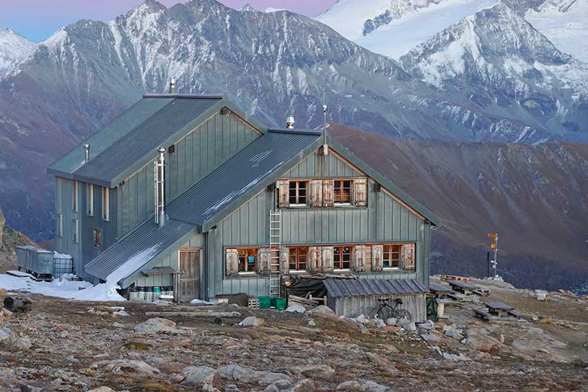
Prarochet Hut
LocationSanetsch Pass, above Sion. On the right bank of the Rhone.Descriptif easy hike, in a slightly lunar landscape with a magnificent panorama of the Valais Alps.Total lengthabout 9 kmWalking timeabout 3 hoursElevation + et -+/-360 metersNational hiking map...
Sentier des charbonniers
LocationCentral Valais, on the left bank of the Rhone above Vernamiège, Nax and MaseDescriptif a difficult hike around Mount Noble. Mountain hike requiring a secure foot. There are some passages, which without being dizzying, can cause problems for people who are...

Sex/ Riond
LocationCentral Valais, Mayens de Conthey, right bank of the RhôneDescriptif not too difficult hike with a magnificent panorama of the Alps.Total lengthabout 10 kmWalking timeabout 3-4 hoursElevation + et -+/-635 meters Altitude: between 1540 and 2062 metersNational...
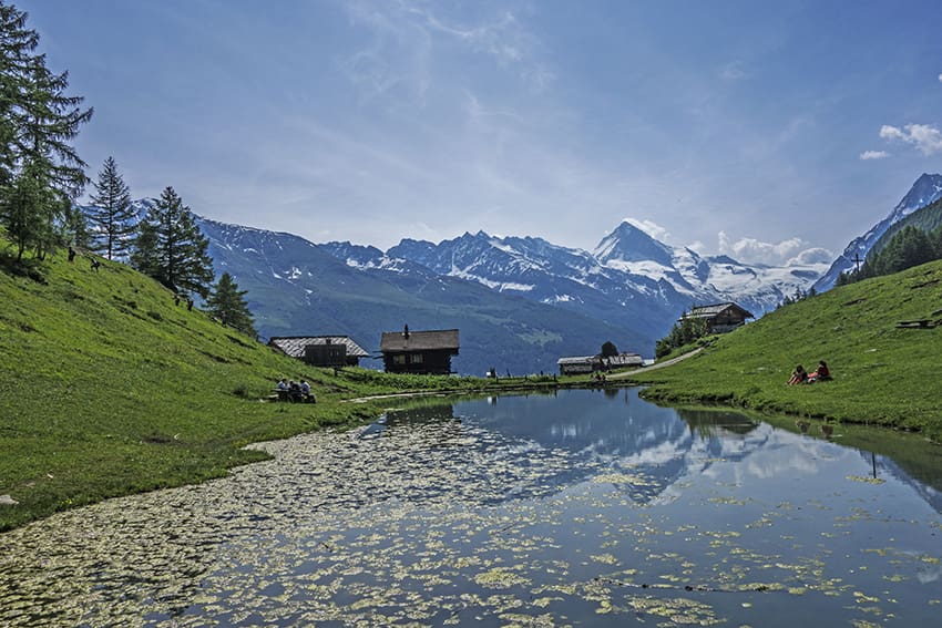
The 4 bisses of Val des Dix
LocationVal d’Hérens on the left bank of the Rhône. Departure from Hérémence, Mâche or PrapperotDescriptif -Total lengthabout 6 kmWalking timeabout 6 hoursElevation + et -+/- 750mAltitude: between 1’019 and 1’574mNational hiking map 1:25’000 CN 1326 and 1306Best...

Thyon / Dixence
LocationStraddling the Val de Nendaz and the Val d’HérensDescriptif very nice 3-day hike with some summits and several passes to crossTotal length40 kmWalking timeapprox. 14.30 hours (between 4 and 6 hours per day without breaks and photo stops)Elevation + et -+/-...

Thyon 2000 / Chemin des Crêtes
LocationThyon 2000 above Sion on the left bank of the RhôneDescriptif beautiful hike with an exceptional 360 ° panorama. View from Mont Blanc, the imperial crown of the Valais Alps and the Bernese Alps to Dents du MidiTotal lengthabout 12 kmWalking timeabout 4 to 5...
Tignousa / Schwarzhorn / Illhorn
LocationValais Val d’Anniviers above St LucDescriptif difficult hike. Not Easy route to climb to Schwarzhorn and between Lac Noir and P. 2415Total lengthabout 14 kmWalking time6 hoursElevation + et -+/-1’100 metersAltitude: between 2180 and 2786 metersNational hiking...
Tour des 5 Etangs / Arbaz
LocationRight bank of the Rhône, Arbaz above SionDescriptif hike not too difficult between forests. ponds and bisse with one of the most beautiful views of the Valais Alps.Total lengthabout 6 kmWalking timeabout 2 hoursElevation + et -+/-236 meters Altitude: between...
Tour du Gautier
LocationNax – Vernamiège, Val d’HérensDescriptif Nice and challenging hike on the edges of the Vallon de Réchy; Alpine path with a beautiful view of the Rhone ValleyTotal length32 km for two daysWalking time13 hours totalElevation + et -between 1550 and 2980 mNational...
Tour du Vallon de Réchy
LocationNax – Vernamiège, Val d’Hérens, Vallon de Réchy and GrimentzDescriptif alpine course overlooking the Val d’Hérens and the Vallon de Réchy then the ski area of Grimentz; pleasant two-day hike with the possibility of climbing Becs du Bosson in T4.Total...