Location: Straddling the cantons of Vaud and Valais, between the massifs of Argentine and the Muverans.
Description: Magnificent hike with sumptuous panorama and the ascent of the Grand Muveran.
Total length: about 33 km
Walking time: about 16 hours
Elevation: +/-3’283 meters
Altitude: between 1’244 and 3’051 meters
National hiking map 1: 50’000: 272 St Maurice
Best period: from June to september
Difficulty : T4 / ascent of Grand Muveran T5, last two stages T3
First step
Pont de Nant (1,252 m) – Rambert hut (2,590 m) – Grand Muveran summit (3,051 m)
Description: Wonderful hike with a wonderful panorama and the ascent to Grand Muveran.
Total length: about 8 km
Walking time: about 7 hours
Elevation: +2’039 -708 meters
Altitude: between 1’244 and 3’051 meters
National hiking map 1: 50’000: 272 St Maurice
Best period: from June to September
Difficulty : T4 / ascent of Grand Muveran T5, last two stages T3
Departure from Pont de Nant above Plans-sur-Bex. The climb begins quietly then from the first crossroads (signpost for La Larze, Frête de Saille, Cabane Rambert), the trail begins to zigzag and becomes steeper.
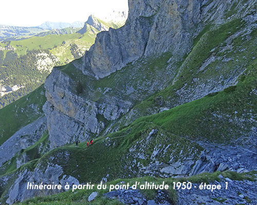
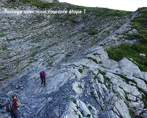
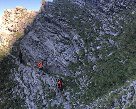
From an altitude of 1950 meters, the route follows the rock faces on a very steep path. Be on your own because some sections are quite steep and technical. Have a sure foot and sticks. The path is narrow in places, some passages have a handrail.
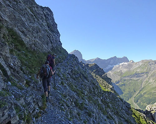
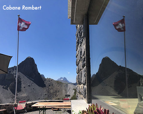
The climb towards Frête de Saille (altitude point 2,468 m) is not long but steep, it should not be underestimated. From the Frête de Saille, there is a magnificent panorama as well as a clear view of the Rambert hut, the Grand and the Petit Muveran. You can also see the path on the other side of the slope that leads to the Rambert hut. The descent to reach the Rambert hut has delicate and slippery passages.
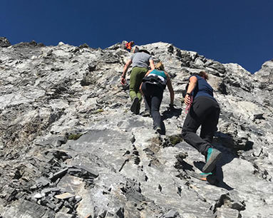
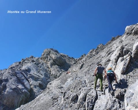
From the Rambert hut, to access the summit of the Grand Muveran (3’047 m), take the bare minimum with you (drink, energy bars). The route for the Grand Muveran is marked T5. Follow the red and yellow marks and then the blue and green marks. Allow 3 hours there and back.
Elevation and map of the first stage
second step
Rambert-Hütte (2.590 m)- Pas de Chamosentse (2.454 m) – Derborence (1.464 m)
Description: Crossing very beautiful landscapes. A T4 passage in the Montée des Pallantsons. Easiest route of the route.Total length: about 12,5 km
Walking time: about 5 hours
Elevation: +514 -1’627 meters
Altitude: between 1’466 and 2’584 meters
National hiking map 1: 50’000: 272 St Maurice
Best period: from June to September
Difficulty : T3
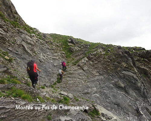
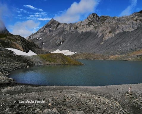
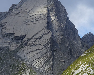
From the Rambert hut take the direction of Ovronnaz, Mayens de Chamoson, Derborence. At elevation point 2386 there are two possible routes. Either follow directly towards the Col de la Forcle (east), or head south (towards Chamosentse, Ovronnaz) and at altitude point 2042, fork in the direction of Lac de la Forcle, Derborence passing by Pas de Chamosentse (east) for a climb of about 400 meters in altitude. On this variant of the route a delicate passage with handrail. From Pas de Chamosentse there is 0.5 km left to reach the magnificent Lac de la Forcle located at the foot of Pacheu and Tita Naire.
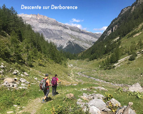
The descent from Lac de la Forcle to Derborence is easy and follows a pleasant path that crosses alpine meadows.
Elevation and map of the second stage
Third step
Derborence (1’464 m) – Pas de Cheville (2’037 m) – col des Essets (2’029 m) – Pont de Nant (1’252 m)
Description: Very nice view of the Derborence district on the way to Pas de Cheville and a spectacular panorama to Pas de Cheville.
Total length: about 13 km
Walking time: about 5 hours
Elevation: +796 -1’011 meters
Altitude: between 1’243 and 2’051 meters
National hiking map 1: 50’000: 272 St Maurice
Best period: from June to September
Difficulty : T3
From the Derborence hut take the direction of Pas de Cheville for around 500 meters of elevation gain. Up to the Grenier, the climb does not pose any particular problem. Subsequently, the path is steeper but also without problem.
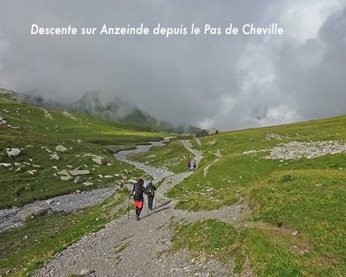
The Pas de Cheville offers a vast and particular setting. The journey to Anzeinde and the Barrault hut is easy, as is the climb to the Col des Essets. The descent from the pass is more delicate and follows a steep path.
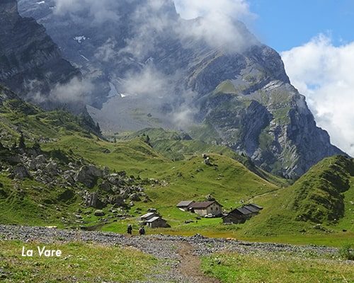
At the end of the descent from the Col des Essets, the route crosses an alluvial valley to the Buvette de la Vare (1’758 m). Then, follow Le Richard and Pont de Nant to reach the starting point.
Elevation and map of the third stage
Practical information
This hike is not recommended in rainy or humid weather, especially the first stage.
This description includes 3 days of walking. For those who do not want to continue with the ascent of Grand Muveran on the first stage, it is possible to stay one more day at the Rambert hut and climb the next day. In this case, allow one more day for the hike.
Food and sleeping are excellent at the Rambert hut (027 207 11 22). It is also possible to order the picnic for the next day by reservation.
During the Rambert-Derborence stage, the route of the second variant crosses the Jules Biollaz refuge (a few hundred meters before Lac de la Forcle) which offers no convenience. Along the route of the two route variants, is the Dorbon mountain pasture gite (after Lac de la Forcle) in a magnificent setting, which offers hikers local products and various drinks. Dormitories available.
The Derborence refuge (027 346 14 28) is very welcoming, the dormitories are large, spacious and clean. Shower available for CHF 4.00. The supper is very good.
Buvette de la Vare (1’758 m). Very warm welcome, excellent and plentiful food. Ideal place for the midday meal of the third stage.

